Introduction to Geographic Information System in QGIS
Become proficient in Geographic Information (GIS) in QGIS for vector & raster data analysis, learn fundamentals in QGIS
4.55 (37 reviews)
3 398
students
4.5 hours
content
Nov 2024
last update
$19.99
regular price
Why take this course?
🌏 Introduction to Geographic Information System (GIS) in QGIS: A Comprehensive Guide
Course Headline:
"Discover the World with QGIS: Mastering GIS Analysis"
Course Description:
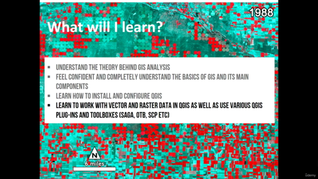
What You Will Learn:
- Master the Theory Behind GIS Analysis 📚
- Navigate QGIS like a Pro 🖥️
- Effortlessly Install and Configure QGIS ✅
- Manipulate Vector and Raster Data 🛠️
- Harness QGIS Plugins and Toolboxes (SAGA, OTB, SCP, and more) 🚀
- Perform Advanced Vector and Raster Analysis 🔬
- Create Stunning GIS Maps for Reports and Beyond 🗺️✨
Who This Course Is For:
This course is perfect for you if you are a:
- Geographer
- Programmer
- Social Scientist
- Geologist
- Or any expert in any field that relies on maps!
Whether you're new to GIS or looking to expand your skillset, this course is tailored to help you succeed.
Hands-On Learning Experience:
Course Highlights:
- Stay Cutting-Edge with QGIS 3.16 🆘
- Learn with the Latest QGIS Release 📶
- Daily Practical Exercises for Real-World Application 🌐
- Access to Downloadable Materials and Datasets 📎
- Expert Instruction from a Seasoned Professional 👩🏫
Join us on this transformative learning adventure and become a GIS analysis expert. With QGIS as your toolkit, the possibilities are limitless. Enroll now and unlock a new dimension of data understanding and spatial problem-solving! 🌍🚀
Course Gallery
Loading charts...
4507218
udemy ID
21/01/2022
course created date
16/02/2022
course indexed date
Angelcrc Seven
course submited by