QGIS Mega Course: GIS and Remote Sensing- Beginner to Expert
Why take this course?
🌐 QGIS Mega Course: GIS and Remote Sensing - Beginner to Expert 🌱
Unlock the Power of GIS and Remote Sensing with QGIS 🚀
Are you on the lookout for a course that will guide you through the complex world of Geographic Information Systems (GIS) and Remote Sensing, turning your curiosity into competence? If you've felt overwhelmed by the technical jargon in GIS books or found existing QGIS tutorials lack practical application, this is the course for you!
Welcome to the QGIS Mega Course: GIS and Remote Sensing - Your Path from Novice to Expert. This isn't just another online course—it's a comprehensive learning journey designed to take you from the basics to an advanced level of GIS analysis using QGIS, the robust open-source Geographic Information System.
Course Highlights:
✅ Comprehensive Instruction: Led by experienced instructor Kate Alison, this course will lead you through real-world GIS projects, demystifying the process and empowering you to work with vector and raster data, as well as satellite imagery.
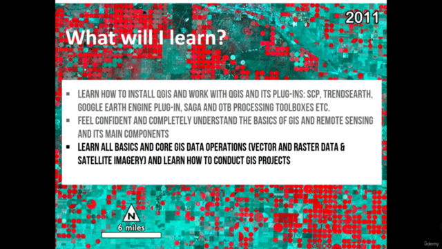
✅ Skill Mastery: From installation to execution, learn how to effectively use QGIS essential plug-ins like Semi-Automatic Classification Plug-in (SCP), TrendsEarth, Google Earth Engine plug-in, SAGA, and OTB processing toolboxes.
✅ Deep Dive into GIS Fundamentals: Understand the core concepts of GIS and Remote Sensing, essential for tackling complex spatial analyses.
✅ Hands-On Practice: Engage with practical exercises that include downloadable datasets, scripts, and precise instructions to help you create maps and conduct geospatial analyses.
Course Objectives:
By the end of this 7-hour course, you will have:
- 🛠 Mastered the installation process for QGIS and its essential plug-ins.
- 🚀 Developed a solid foundation in GIS and Remote Sensing principles.
- 📊 Acquired comprehensive knowledge of GIS data operations across vector, raster data, and satellite imagery.
- 🧠 Learned to perform image preprocessing, calculate spectral indices, conduct land use and land cover classifications, and visualize data effectively.
- 🎓 And much more – you'll be equipped with the skills to tackle a wide array of GIS projects confidently!
Ideal Audience:
This course is perfect for:
- Geographers, Programmers, Social Scientists, and Geologists who want to leverage geospatial data.
- Aspiring GIS & Remote Sensing Experts looking to enhance their analytical skills within the QGIS ecosystem.
- Professionals in any field who wish to integrate maps and spatial analysis into their work.
Practical Hands-On Experience:
The practical aspect of this course is paramount. You will receive everything you need, from detailed instructions to downloadable datasets, to execute real-world tasks in QGIS. This hands-on approach ensures that you can immediately apply what you learn to your own projects.
Don't miss out on this transformative experience. Enroll now and embark on a journey to becoming a proficient GIS professional, equipped with the knowledge and skills to analyze spatial data and create impactful maps that tell compelling stories. 📍✨
Course Gallery
Loading charts...