Land Survey with Drones
Learn Land Survey with Drones skills from top instructors

Drone Valk
7 courses
![[ATUALIZADO] DRONE - LEVANTAMENTO E PROCESSAMENTO DE IMAGENS](https://thumbs.comidoc.net/480/2398474_9a04_2.jpg)
[ATUALIZADO] DRONE - LEVANTAMENTO E PROCESSAMENTO DE IMAGENS
595
students
10.5 hours
content
Jan 2020
updated
$19.99

Jose Alberto Soler
4 courses

Aprende a realizar topografía con drones (4/5)
508
students
3.5 hours
content
Nov 2018
updated
$19.99

Golgi Alvarez
25 courses

Recap & Regard3D for Reality Capture - AulaGEO
147
students
1 hour
content
Aug 2024
updated
$19.99

Dionisio gonzalez
28 courses

Guia para Topografía con Drones
96
students
2.5 hours
content
Aug 2021
updated
$19.99

Richard L Charpent
11 courses

Introduction to 2 & 3D Drone Modeling With Agisoft Metashape
1.5K
students
6 hours
content
Sep 2024
updated
$19.99

Richard L Charpent
11 courses

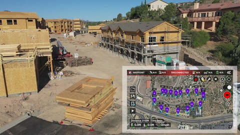
Litchi Waypoint Missions for your Drone Business
328
students
3.5 hours
content
Oct 2019
updated
$19.99

