Elevation Data Processing In GIS

Why take this course?
🌟 Course Title: Elevation Data Processing In GIS
Headline: Beginner Guide for Hydrological Modeling, LiDAR, TIN, DEM, Volume Calculation, Surface Analysis, Contour, and More!
🚀 Course Description:
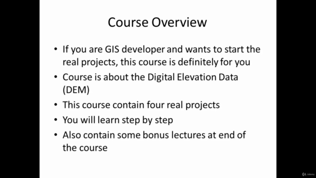
Are you ready to dive into the world of Geographic Information Systems (GIS) with a focus on elevation data processing? Whether you're a beginner or looking to sharpen your skills, this comprehensive online course is tailored to guide you through the intricacies of hydrological modeling, surface analysis, and more!
📌 Key Topics Covered:
-
Introduction to GIS: Understanding the fundamentals of Geographic Information Systems and their importance in environmental management.
-
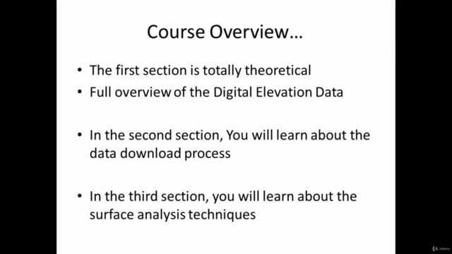
Elevation Data Basics: Learn about Digital Elevation Models (DEM), Terrain Modeling, and how they are used to interpret and analyze landscape features.
-
LiDAR Technique Mastery: Get hands-on experience with Light Detection and Ranging (LiDAR) data acquisition and processing for topographic mapping.
-
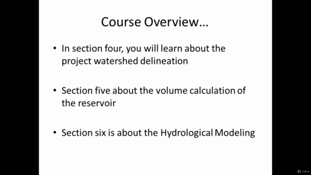
Hydrological Modeling Fundamentals: Explore the basics of hydrological modeling to predict floods, assess drainage patterns, and manage water resources effectively.
-
TIN (Triangulated Irregular Network): Discover how to create TIN models for visualizing terrain and performing spatial analysis.
-
DEM (Digital Elevation Model) Processing: Learn the steps to process DEMs, including cleaning, smoothing, and interpolation techniques.
-
Volume Calculation: Master methods to calculate volumes of landforms or cut areas for various applications in environmental impact assessment and civil engineering projects.
-
Surface Analysis: Analyze surfaces for natural resource management, urban planning, and risk assessment.
-
Contour Generation: Learn how to generate contour lines from DEM data and understand their significance in landform analysis.
-
Real-World Applications: Engage in project-based learning that applies the concepts of elevation data processing to real-world scenarios like drainage management and environmental conservation.
📈 What You Will Gain:
-
A solid understanding of GIS principles, especially as they apply to elevation data analysis.
-
Practical skills in using LiDAR, TIN, DEM, and other advanced GIS tools for hydrological studies.
-
The ability to perform volume calculations and interpret the results with confidence.
-
Hands-on experience with surface analysis and contour generation to enhance your problem-solving abilities.
-
A portfolio of completed projects that showcase your new skills in elevation data processing.
By the end of this course, you will be equipped with the knowledge and tools necessary to confidently tackle any Digital Elevation Dataset (DES) project in hydrological modeling. So, enroll now and embark on a journey to become a GIS expert in elevation data processing! 🌄
Instructor: Tek Bahadur Kshetr
Tek is an experienced professional with a passion for teaching and GIS. With years of experience in hydrological modeling and geospatial analysis, Tek brings real-world expertise to the classroom, making complex topics accessible and engaging. Join him on this learning adventure! 🧭
Enroll Today: Elevate your GIS skills with our beginner-friendly course on elevation data processing. Transform your career by mastering hydrological modeling, LiDAR, TIN, DEM, volume calculation, and much more. Sign up now and start your journey to becoming a GIS expert! 📖➡️🚀
Course Gallery


Loading charts...