Web Mapping and Web-GIS from Dev to Deployment: GeoDjango

Why take this course?
📍 Course Title: Web Mapping and Web-GIS from Dev to Deployment: GeoDjangocourse Headline: Let's Make the Digital Maps 🚀
Unlock the Power of Spatial Data with GeoDjango, Leaflet.js, PostGIS & GeoServer!
Are you passionate about geospatial data and its visual representation on the web? Do you dream in coordinates and datasets? If your answer is a resounding "Yes!" then our comprehensive online course is tailored just for you! 🌟
Course Description:
This course is specifically designed for individuals with a zest for web mapping/web-GIS development. Dive deep into the practical world of geospatial programming by mastering tools like leaflet.js, GeoDjango, and GeoServer. With a focus on hands-on learning, this course eschews traditional slides in favor of direct coding sessions to provide you with simple, effective, and alternative methods to tackle your projects.
🧵 Key Components of the Course:
-
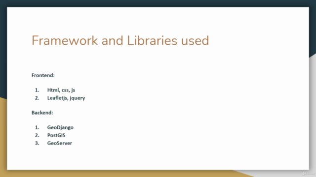
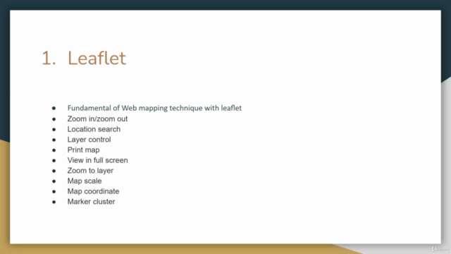
Leaflet.js: The leading open-source JavaScript library for interactive maps, weighing just about 39 KB of JS. It's the go-to solution for developers without a GIS background to create interactive web maps.
- Display tiled web maps hosted on a public server
- Work with GeoJSON files to load feature data
- Create interactive layers like markers with popups
-
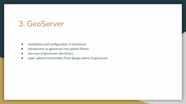
GeoServer: The Open Source Geospatial Web Map, Data Catalog, and Web Processing Service Server. It implements OGC protocols and aims to operate as a node within a free and open Spatial Data Infrastructure (SDI).
- Offers services like WFS, WMS, WCS, and WMTS
- Publishes spatial data over the web with ease
- Enables seamless integration with various GIS and data management systems
-
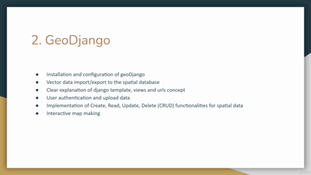
GeoDjango: A Django application that provides a robust object-relational mapping system for geographic data.
- Builds upon PostGIS, enabling powerful spatial queries
- Simplifies the process of handling geospatial information in your Django applications
- Facilitates the storage and querying of spatial data in a relational database
-
PostGIS: An open-source extension for PostgreSQL that adds support for geographic objects allowing location queries to be run in SQL.
- Handles both vector and raster data
- Performs spatial analysis and acts as a spatial database extender
Why Take This Course?
- Practical Focus: Learn by doing with real-world projects that showcase the power of web mapping.
- Hands-On Experience: Engage with interactive coding exercises to build your skills progressively.
- Cutting-Edge Technologies: Get up to speed with the latest tools in geospatial web development.
- Expert Guidance: Follow step-by-step instructions from a seasoned professional in the field, Tek Bahadur Kshetri.
By the end of this course, you will be able to:
- Develop interactive web maps with Leaflet.js
- Set up and manage Geospatial data with GeoDjango and PostGIS
- Deploy a robust geospatial web service using GeoServer
- Integrate and utilize various spatial data sources in your applications
- Contribute to the growing field of web mapping and web-GIS development
Ready to transform data into impactful maps? Enroll in "Web Mapping and Web-GIS from Dev to Deployment: GeoDjangocourse" now and embark on a journey to become a geospatial web developer! 🌍✨
Course Gallery


Loading charts...