Tyflow Terrain in 3ds max e non solo...
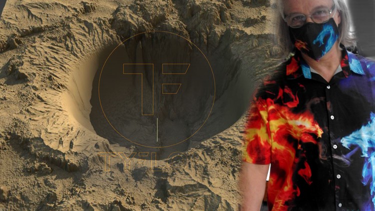
Why take this course?
🌟 Course Title: Tyflow Terrain in 3ds Max e non solo... 🚀
Hone your skills with the best integrated programs for realistic terrain simulation in 3ds Max!
Course Headline:
I migliori programmi integrati in 3ds Max per la simulazione di Terreni.
About the Course:
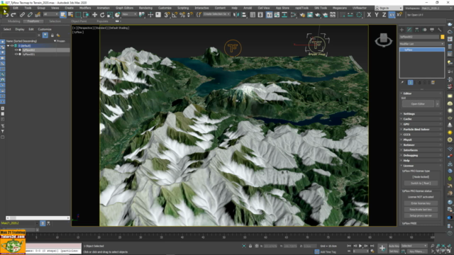
In this course, we delve into the new Tyflow Terrain plugin for realistic terrain simulation within 3ds Max. We will also explore other essential plugins and tools that can enhance your terrain modeling workflow. The course is structured into 4 comprehensive sections that cover various methods of creating terrains using different techniques and data sources.
Note: We recommend viewing videos on Edge browser to ensure a smooth experience. Google Chrome users, please note that there may be interruptions, thank you. 🛠️
Course Structure:
Sezione 1: Data-Driven Terrains with DEM
Learn how to create terrains using the Terrain plugin for DEM data analysis, where a Digital Elevation Model (DEM) represents elevation data in a digital format. These models are often produced in raster formats with each pixel associated with an elevation value.
Sezione 2: Heightmap and Displacement Mapping
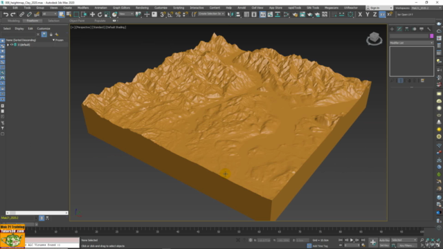
Explore the use of heightmaps derived from real-world data, which can be applied using displacement mapping techniques in 3ds Max. This non-destructive approach modifies the geometry of the model based on the gradient information of a grayscale image. Additionally, we'll cover how to generate materials with Terrestrial data.
Sezione 3: Topographic Terrains with Compound Object Terrain
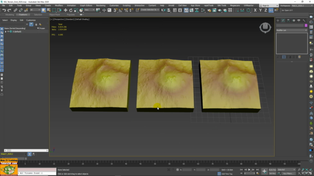
Discover how to create terrains using the Compound Object Terrain feature in 3ds Max, which allows for the analysis of topographic data extracted from Splines and imported into the program for accurate elevation modeling.
Sezione 4: Parametric Terrains with Tyflow Operators
Master the creation of terrains using Tyflow's new parametric operators. These tools enable you to quickly modify terrain shapes and even alter meteorological data like snow and rain. The material editor will also be covered, showcasing how to use bitmap shaders and gradients for realistic representations.
Operatori Tyflow utilizzati nel corso:
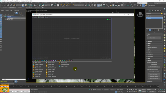
- Birth Terrain
- Object Terrain
- Terrain Clear, Color, Display
- Terrain Erosion, Filter, FX, Liquid, Mesh, Resample, Scatter
- Terrain Slope, Tile, Warp
- Terrain Transform, Export Terrain
Course Materials:
The course includes practical exercise files compatible with 3ds Max versions 2017 and above. These are attached to the relevant lessons:
- 002_Installazione Terrain
- 044_Nuovi Preset Terrain
Note: Video lessons are recorded in HD 1920 x 1080 resolution. Udemy may choose to present them at a 720p resolution for optimal viewing.
Instructor Introduction:
Your instructor, Marcello Pattarin, is a graduate of the Accademia di Belle Arti di Brera and the Liceo Artistico of Milan, with a specialization in architectural illustration. With over 20 years of experience in 3ds Max, Marcello has been at the forefront of video course production for rendering, animation, and effects. His contributions have resulted in over 5000 videos, making him one of the pioneers in this field.
Enroll now to embark on a journey through terrain modeling with the latest tools in 3ds Max! 🎓✨
Course Gallery
Loading charts...