The Complete Geospatial Data Science with Python Course

Why take this course?
🌟 Course Headline:
📍 "The Complete Geospatial Data Science with Python" - Master Geopandas, Shapely, Fiona & Rasterio, and More!
🚀 Course Description:
Are you ready to embark on a journey through the vast landscape of Geospatial Data Science? With "The Complete Geospatial Data Science with Python," you'll navigate this complex terrain under the expert guidance of Abdishakur Awil Hassan, a seasoned instructor who has walked the path from GIS to Geospatial Data Science and back.
🔍 Why This Course?
In a world inundated with data, geospatial data stands out for its unique ability to represent real-world phenomena on Earth. However, harnessing this data requires a blend of technical expertise and conceptual understanding—a blend that is often difficult to master from disjointed resources. This course is designed to streamline your learning process, offering you a comprehensive, structured approach to Geospatial Data Science with Python.
🧩 Course Structure:
-
🏫 Python Fundamentals:
- Setting up your environment with all necessary libraries hassle-free.
- Interactive Python quizzes and web-based geo-applications to get you started on the right foot.
-
📚 Getting Comfortable with Geospatial Data:
- Learning Python syntax and data structures infused with geography examples.
- A simple command-line game, "Guess the City," to solidify your understanding of Python basics.
-
📏 Mastering Geometry & Spatial Data Handling:
- Deep dive into the Shapely and Fiona libraries for foundational geospatial data manipulation.
- A Tkinter Interface for a "Guess the Country Game" to apply your new geometry skills.
-
🌍 Exploring Vector Data with Geopandas:
- Leveraging Geopandas on top of the Shapely and Pandas libraries to unlock advanced geospatial capabilities.
- Tackle a real-world Geospatial Vector analysis project, applying your skills to solve actual job application problems.
-
🛰️ Raster Data with Rasterio:
- Introduction to Remote Sensing in Python, including the processing of satellite imagery.
- Hands-on experience with raster data to round out your geospatial toolkit.
🚀 What You Will Learn:
- The fundamentals of Python programming in the context of Geospatial Data Science.
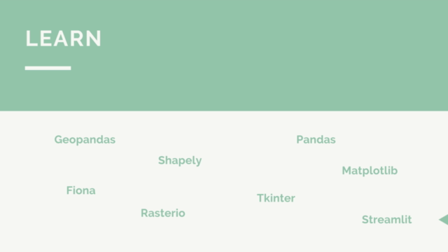
- How to handle vector and raster data using libraries like Geopandas, Shapely, Fiona, and Rasterio.
- Advanced techniques for analyzing geospatial data, with real-world applications.
- The skills necessary to embark on a successful career in Geospatial Data Science.
🎓 Who Is This Course For?
This course is tailored for anyone interested in or working within the fields of Geospatial Data Science, GIS, Environmental Science, Urban Planning, and more. Whether you're a complete beginner or looking to deepen your geospatial analytics skills, this course will guide you through a hands-on learning experience.
📆 Take The Next Step:
Join "The Complete Geospatial Data Science with Python" today and transform your data into actionable insights with the power of Python's most impactful geospatial libraries. Enroll now to start your journey towards becoming a Geospatial Data Science expert! 🌍💻
Enroll now and unlock the full potential of your Geospatial Data Science skills with this comprehensive, hands-on course. Let Abdishakur Awil Hassan be your guide as you learn to manipulate and analyze geospatial data like a pro. 🌐🎓✨
Course Gallery


Loading charts...