How to Extract Landslide Slope and Grid Unit Using QGIS only
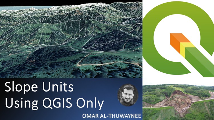
Why take this course?
🌱 Master Landslide Analysis with QGIS: A Comprehensive Course by Dr. Omar AlThuwaynee
🚀 Course Title: How to Extract Landslide Slope and Grid Unit Using QGIS
📚 Course Headline: LaGriSU: QGIS Tools of Grid Units and Geo-Morphological Slope Units Extraction for Landslides Events Inventory
Introduction: Welcome to a transformative learning journey in mastering landslide analysis using the powerful and versatile QGIS platform! I'm Dr. Omar F. Althuwaynee, your guide on this exciting adventure into GIS and Geomatics engineering. This course is designed to empower you with the knowledge and skills to utilize advanced functions within QGIS, specifically tailored for landslide inventory analysis.
What You Will Learn:
- Introducing QGIS Processing Tools: Unleash the potential of QGIS's robust processing toolbox.
- Installing Free Processing Tools: Easily install essential tools within QGIS, free of cost.
- Extraction Techniques: Grasp the process of extracting Grid Units (GU) and Morphological Slope Units (SU), enhancing your landslide event inventory.
- Automatic Data Generation: Learn to create training and testing data automatically, setting the stage for sophisticated models like logistic regression or ANN.
- Simplified Procedure: Discover a streamlined procedure with less than 5 steps for mapping techniques (GU and SU), making your analysis both efficient and user-friendly.
🛠️ QGIS as Your Powerhouse Tool: QGIS is an open-source platform that offers a simple interface and is available completely free of charge, making it an ideal choice for students, researchers, and professionals in any financial situation, especially in resource-limited settings.
Course Outcomes: By the end of this course, you will be proficient in using automatic processes to generate training and testing data for landslide susceptibility mapping. You'll harness the full analysis capabilities of QGIS open source software, equipped with the latest updates and tools for optimal performance.
February 2022 UPDATE: The "Model tools" named LaGriSU has been updated with enhanced features and optimized processing speed:
- Improved Performance: Faster and more efficient handling of data.
- Compatibility: Tested on QGIS versions 3.10, 3.12, and 3.14 (both Windows and Linux).
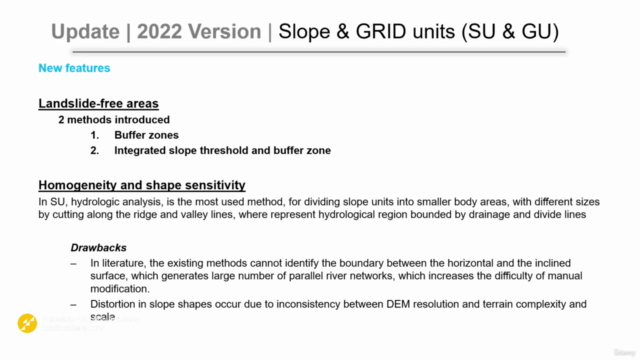
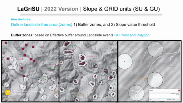
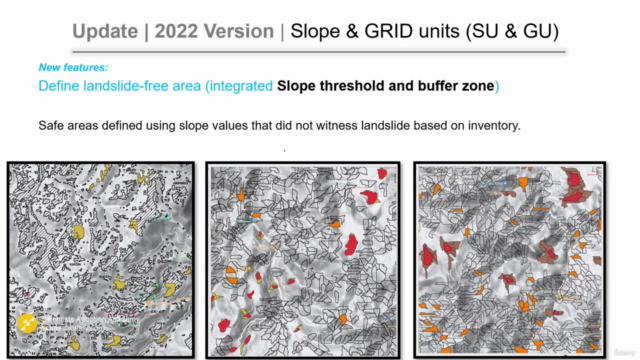
- Defining Landslide-Free Zones: New techniques introduced for buffer zones and slope value thresholding.
- Data Compatibility: Suitable for both point and polygon feature inventories.
- Statistical Analysis: Comprehensive box plots to analyze statistics at landslide locations.
- Detailed Reporting: Summary reports provide invaluable insights into the data.
March 2023 UPDATE on GitHub: We've continued to refine LaGriSU, addressing issues and improving functionality:
- Stability Improvement: Enhanced stability for large area analysis.
- Geometry Corrections: Resolved previous errors in geometries and dissolve functions.
- Slope Units Sampling: Achieved a more balanced 1:1 ratio between training and testing data.
- Refined Data: Removed small polygons to focus on significant findings.
Accessing LaGriSU: To gain full access to the latest version of LaGriSU, please visit my GitHub repository: /Althuwaynee/LaGriSU_Landslide-Grid-and-Slope-Units-QGIS_ToolPack
Key Terms for This Course:
- QGIS
- GIS (Geographic Information Systems)
- Automatic Tools
- Modeler
- Mapping
- Landslide Susceptibility
Embark on this enlightening course and become a master in landslide analysis with QGIS! 📊🌍🛠️
Course Gallery
Loading charts...