Survey of python for GIS applications

Why take this course?
🎓 Course Title: Survey of Python for GIS Applications
🚀 Course Description: Are you a GIS professional looking to expand your skill set with python? Or perhaps you're a python enthusiast eager to explore the vast world of geospatial data analysis? This comprehensive course, led by the experienced Michael Miller, is designed to bridge the gap between your current knowledge and the advanced techniques required for handling GIS applications using python.
📚 What You'll Learn: This course will take you through a structured journey of Python's capabilities, focusing on its powerful ecosystem for data analysis with an emphasis on geospatial data. From the fundamentals to mastering specialized libraries, this survey is your stepping stone to becoming proficient in leveraging python for GIS tasks.
🔍 Key Topics Include:
-
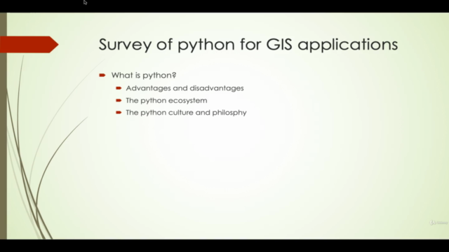
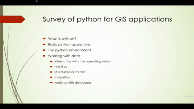
Introduction to Python: Dive into the basics of the language, including syntax, variables, data types, and control structures.
-
Object-Oriented Programming in Python: Understand object-oriented concepts like classes and inheritance, and how they can be applied to solve complex GIS problems.
-
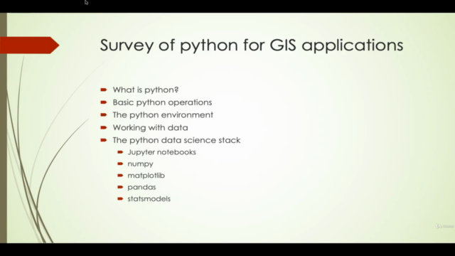
Python Packages and Modules: Explore the core packages for data analysis in Python, such as NumPy, Matplotlib, Pandas, Fiona, Shapely, Geopandas, Rasterio, and more!
-
Unit Testing in Python: Learn best practices for writing unit tests to ensure your code is robust and reliable.
-
Jupyter Notebooks: Utilize the interactive computing environment to develop and present your data analysis projects.
-
Data Analysis with Numpy, Matplotlib, and Pandas: Discover how these libraries can be used to manipulate and visualize geospatial data effectively.
-
Geospatial Libraries (Fiona, Shapely, Geopandas): Master the art of working with spatial data using these essential libraries for vector data handling.
-
Rasterio: Learn to handle and process raster datasets, which are crucial for visualizing geographic information system (GIS) data.
-
Geocoding: Understand how to convert addresses into geographic coordinates and vice versa.
-
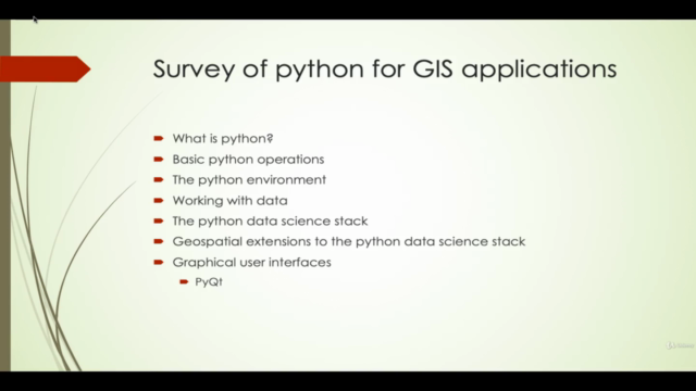
PyQt: Get to grips with building user interfaces in Python, making your GIS applications more interactive and accessible.
👨💻 Who Should Take This Course?
- GIS professionals seeking to enhance their analytical capabilities with python scripting.
- Python programmers looking to apply their skills to the field of geospatial analysis.
- Anyone interested in a career in data science, particularly within the realm of geographic information systems (GIS).
📅 Course Structure: The course is structured to guide you through each topic with clear explanations, practical examples, and interactive exercises. You'll have access to a variety of resources, including video lectures, reading materials, and hands-on projects that will solidify your understanding and help you build a portfolio of work.
💡 By the end of this course, you will:
- Have a strong grasp of python and its role in GIS applications.
- Understand how to manipulate and analyze geospatial data using Python's powerful libraries.
- Be able to create robust, scalable, and efficient Python scripts for GIS tasks.
- Gain the ability to visualize your findings with Matplotlib and integrate user interfaces with PyQt.
Join us on this journey to unlock the potential of python in geospatial data analysis and GIS applications! 🌟
Course Gallery


Loading charts...