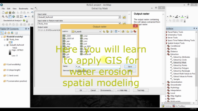
Soil erosion spatial modeling with RUSLE in ArcGIS software

Why take this course?
Course Title: Mapping Soil Loss Per Annum with Geospatial Tools for Any Study Area: A Step-by-Step Guide 🚀
Headline: Unveiling the Mysteries of Soil Erosion - Master Spatial Modeling with RUSLE in ArcGIS! 🌱📍
Course Description:
Welcome to the comprehensive online course, "Soil Erosion Spatial Modeling with RUSLE in ArcGIS Software"! This is your golden opportunity to become a proficient geospatial analyst and predict soil loss within any study area you choose. With the guidance of a seasoned course instructor, you will navigate through the complexities of the Revised Universal Soil Loss Equation (RUSLE) model using the industry-standard software - ESRI ArcGIS.
Why Take This Course? 📈
- Practical Skills: Learn to model soil erosion without the need for field data, leveraging geospatial tools instead.
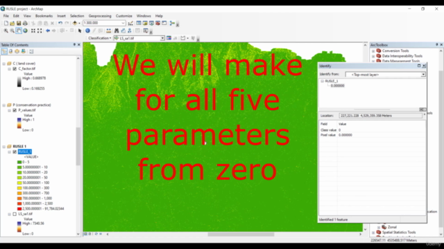
- Comprehensive Coverage: The course is structured into 6 intuitive sections that cover each parameter of the RUSLE model (R, K, LS, C, and P factors) and the final modeling process.
- User-Friendly Approach: With step-by-step instructions, this course ensures even beginners can master spatial modeling of soil loss.
- Versatile Applications: The skills you gain are highly sought after across various scientific fields, including soil science, agricultural science, earth science, and environmental science.
- Real-World Relevance: By completing this course, your research projects, whether for coursework or professional purposes, will significantly benefit from your newfound expertise in soil erosion spatial modeling.
Course Structure:
- Introduction to RUSLE Modeling: Get an overview of the RUSLE model and its significance in understanding soil erosion dynamics.
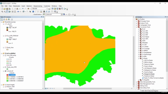
- Parameter Analysis: Dive into each component (R, K, LS, C, P) that defines the RUSLE model, and learn how to extract and analyze these parameters using ArcGIS tools.
- Data Preparation: Learn to prepare the necessary datasets and perform supervised classification for land use/land cover mapping.
- Model Execution: Understand how to run the RUSLE model within ArcGIS, including setting up the model parameters and input variables.
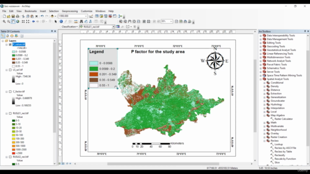
- Result Interpretation: Gain insights into interpreting the model output, including the creation of a spatial map of soil loss for your study area.
- Finalizing the Model: Combine all elements learned to finalize your RUSLE model and produce an accurate soil erosion map.
What You Will Master:
- ArcGIS Tools: Utilize supervised classification, NDVI maps, hydrologic analysis, and more.
- Model Builder: Learn to automate your spatial modeling processes with Model Builder in ArcGIS.
- Geospatial Data Analysis: Enhance your ability to analyze and interpret complex geospatial datasets.
Who Should Take This Course? 🎓
This course is ideal for:
- Students studying environmental science, soil science, agricultural science, or earth sciences.
- Professionals in environmental management, agriculture, or land use planning.
- Enthusiasts and hobbyists interested in geospatial analysis and modeling.
Enroll Now to Embark on Your Journey to Mastering Soil Erosion Spatial Modeling! 🌟
Join us and transform the way you approach environmental analysis. With this course, you'll not only gain valuable skills but also contribute significantly to conservation efforts and research across the globe. Let's get started! 📚➡️🌍
Course Gallery


Loading charts...