Satellite Remote Sensing for Beginners

Why take this course?
🌏 Satellite Remote Sensing for Beginners: A Journey into Earth Observation 🚀
Course Headline: Get started to learn remote sensing with various earth observation satellite data!
Course Description: Are you fascinated by the power of satellites to unveil the mysteries of our planet? Our comprehensive online course, Satellite Remote Sensing for Beginners, is your gateway into the intriguing world of Earth observation. Led by the esteemed experts at the Remote Sensing Technology Center of Japan 一般財団法人リモート・センシング技術センター (RESTEC), this course is tailored for beginners eager to explore the field of remote sensing.
What You'll Learn:
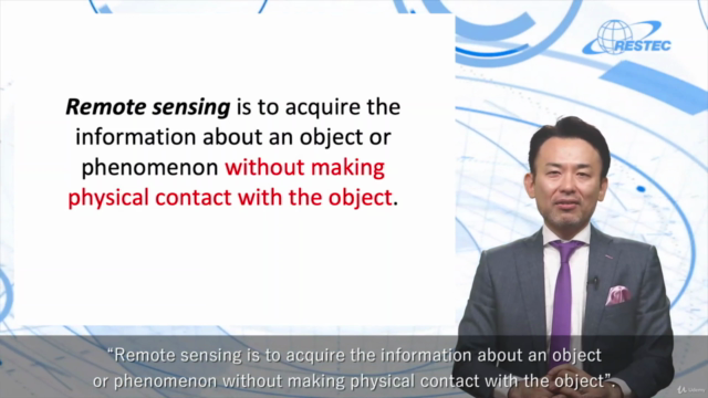
- Introduction to Remote Sensing: Understand the fundamentals and applications of satellite data in monitoring and managing our planet. 📚
- Types of Satellites: Discover different types of satellites, their features, and how they contribute to Earth observation. 🛰️
- Orbiting Insights: Learn about the two main satellite orbits - geostationary and polar - and their unique roles in remote sensing. 🌍
- Sensors and Data Access: Explore the various sensors used in satellite technology, including optical and radar sensors, and how to access Earth observation data. 📶
- Utilization of Satellite Data: Grasp the potential of satellite data in applications ranging from agriculture to disaster management. 🌾💥
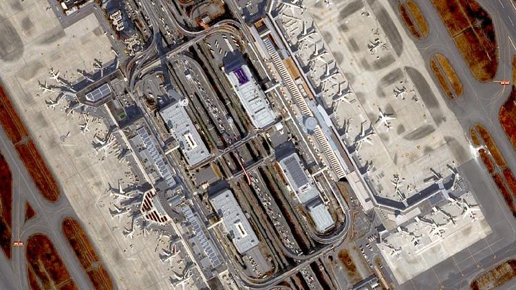
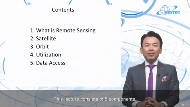
Course Structure: The course consists of 5 comprehensive lectures, each accompanied by sample images from Earth observation satellites to bring concepts to life:
- What is Remote Sensing? An overview of the concept and its significance.
- Satellite: Types of satellites used in remote sensing and their functionalities.
- Orbit: Understanding geostationary vs. polar orbits and their importance in satellite data collection.
- Utilization: Practical applications of satellite data in real-world scenarios.
- Data Access: A guide to searching and retrieving data from one of the most significant earth observation satellites, Landsat.
Hands-On Learning with RESTEC: This introductory course serves as a stepping stone to more advanced training. RESTEC offers interactive online training courses that include hands-on exercises for a deeper dive into:
- Basic Remote Sensing (2 days)
- Optical Remote Sensing (2 days)
- Synthetic Aperture Radar (SAR) Remote Sensing (2 days)
- Interferometric SAR Remote Sensing (2 days)
Join Our Community of Learners: Embark on your remote sensing journey today and unlock the secrets of our planet from space! For feedback, questions, or inquiries regarding this course, reach out to RESTEC at training@restec.or.jp. Let's explore the unseen together! 🌟
Enroll Now and Start Your Remote Sensing Adventure! 🛫🚀
Course Gallery


Loading charts...