Remote Sensing using ArcGIS Pro - AulaGEO
Applications of Remote Sensing using ESRI Products
4.29 (197 reviews)
11 136
students
4 hours
content
Aug 2024
last update
$19.99
regular price
Why take this course?
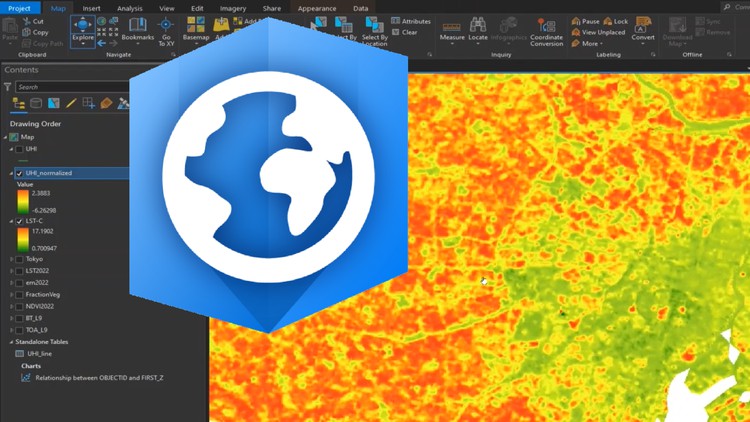
🚀 Course Title: Remote Sensing using ArcGIS Pro 🌏
Headline: Applications of Remote Sensing with ESRI Products
Dive into the world of geospatial analysis and discovery with our comprehensive course on Remote Sensing using ArcGIS Pro! This course is designed to empower you with the practical skills needed to harness the full potential of ESRI products in understanding and interpreting remote sensing data. 🌟
Course Description:
This is a course of applications of Remote Sensing using ESRI Products. It's an engaging journey through the following key modules:
1) Introduction
- Course Overview: Set your compass for an in-depth exploration of remote sensing applications with ESRI products.
2) Introduction to ArcGIS Online
- Basics of ArcGIS Online: Get acquainted with the ArcGIS Online platform and its capabilities.
- ArcGIS Online Sign In and Map Viewer: Navigate through the map viewer, understanding its functionalities.
- Map Layout and Tools: Learn how to design and utilize various mapping tools in ArcGIS Online.
- Preparing a Map in ArcGIS Online: Gain hands-on experience in setting up a map.
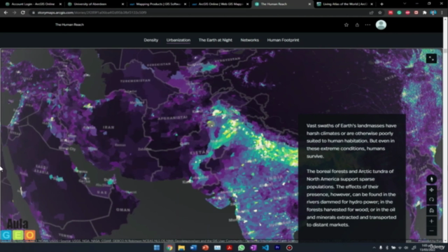
- Introduction to ArcGIS Living Atlas: Discover the rich resources available in the Living Atlas of ESRI.
3) Introduction to ESRI Story Map
- Basics of ArcGIS Story Map: Explore the storytelling capabilities of the ArcGIS Story Map platform.
- Overview of an Example Story Map: Analyze and understand the structure of a well-crafted story map.
- StoryMap Layout (Part-A & Part-B): Construct the elements of a compelling narrative through your own story map.
- Final Example of Story Map: Learn by doing as you create an example that tells a geographical story.
4) Land use science
- Basics of Land use land cover (LULC) analysis: Understand the principles and methods of LULC analysis.
- Downloading satellite data from USGS: Learn how to source relevant satellite imagery for your analysis.
- Importing data and applying preprocessing inside ArcGIS Pro (Part-A & Part-B): Master the art of importing, preprocessing, and preparing your datasets in ArcGIS Pro.
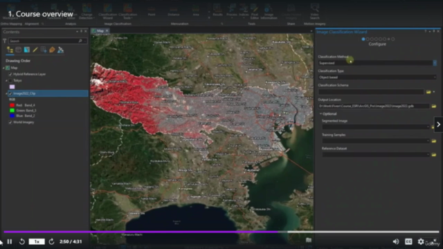
- Performing land use classification (Part-A & Part-B): Develop your skills in classifying land use types from satellite imagery.
- Visualizing and preparing final maps for LULC in ArcGIS Pro: Learn to create clear, informative visualizations of your LULC analysis results.
5) Time series analysis for Urban Sprawl Analysis
- Background of Time Series, Urban Sprawl, and Change Detection: Gain insights into the concepts behind time series analysis and urban sprawl.
- Preparing LULC maps for time series analysis: Learn how to prepare your land use data for longitudinal studies.
- Estimating area for each LULC class for each year: Master the techniques for measuring changes in land use over time.
- Change detection in ArcGIS Pro: Discover the tools and methods for detecting changes in geospatial data within ArcGIS Pro.
- Publishing findings for study area using ESRI Story maps: Communicate your research findings effectively through story maps.
6) Urban Heat Island (UHI) Effect
- Basic concepts of UHI: Understand the urban heat island effect and its implications.
- Evaluating LST from Landsat satellite in ArcGIS Pro (Part-A & Part-B): Learn how to assess land surface temperature data obtained from Landsat satellites within ArcGIS Pro.
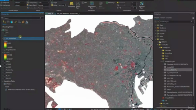
- Evaluating UHI trends from LST: Identify and analyze patterns of urban heat island effects through LST data.
- Evaluating UHI (Normalized) and UTFVI from LST: Utilize advanced analysis techniques like the Normalized Difference Vegetation Index (NDVI) to assess vegetation cover and its influence on the UHI effect.
By completing this course, you'll be well-equipped with the tools and knowledge to tackle real-world geospatial challenges using remote sensing and ESRI products. 🌍🔍 Enroll now and unlock the power of spatial analysis! #AulaGEO
Course Gallery
Loading charts...
Related Topics
4615852
udemy ID
27/03/2022
course created date
20/04/2022
course indexed date
Bot
course submited by