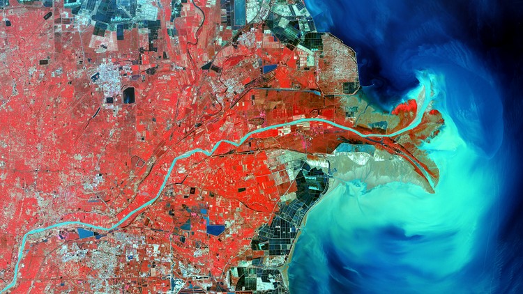
Complete Remote Sensing Image Analysis with ENVI Software

Why take this course?
🌏 Complete Remote Sensing Image Analysis with ENVI Software 🌍
Course Headline:
👉 Elevate Your Remote Sensing Skills to Expert Levels with ENVI Software!
Are you on the lookout for an in-depth guide to master remote sensing image processing using one of the most powerful tools in the field? Whether you're new to the world of remote sensing or looking to sharpen your skills, this course is tailor-made for you! 🛰️🌱
Course Description:
If you're currently enrolled in my Fundamentals of Remote Sensing and Geospatial Analysis course and eager to delve deeper into the realm of remote sensing, or if you're already well-versed in the field but want to harness the capabilities of ENVI software for processing images, this is the perfect next step for you!
Go from zero to hero in remote sensing satellite image processing with my comprehensive course! 🚀
In this course, we'll embark on a journey through the practical application of remote sensing techniques using real-world data and actual images from satellites like Landsat 8. You'll gain valuable hands-on experience by learning:
Basic ENVI Navigation and Tools:
- How to maneuver within the ENVI interface
- Basic image processing concepts
🔍 Fundamental Techniques in Satellite Remote Sensing Image Processing:
- Radiometric Calibration: Ensuring the accuracy of pixel values for correct analysis. 📐
- Atmospheric Correction Techniques: Including Fast Line of Sight Atmospheric Analysis of Hypercubes (FLAASH) and Dark Object Subtraction (DOS). 🌤️
- Supervised and Unsupervised Classification: Identifying different land cover types. 🍂🏞️
- Vegetation Indices like NDVI, EVI, and more! 🌿
- Band Ratios for various applications. 📈
Intermediate to Advanced ENVI Techniques: Once you've mastered the basics, we'll explore more advanced remote sensing processes with ENVI, such as:
- Hyperspectral Data Analysis: Unlocking the potential of complex spectral data. 🌈
- Image Registration: Aligning images for accurate analysis. ↔️
- Anomaly Detection: Identifying deviations in data that could indicate significant changes or phenomena. 🔍
- Creating a Burn Index Map: Assessing the impact of fires on ecosystems and landscapes. 🔥
- Mineral Mapping from Hyperspectral Images: Identifying mineral compositions from spectral data. 💎
- Spectral Angle Mapper (SAM): Classifying land cover based on the angle between spectrum curves. 📊
- Time Series Analysis: Monitoring changes over time. ⏳
- Pansharpening: Enhancing low-resolution multispectral images with high-resolution panchromatic images. 🌟
Additional Resources and Support: You'll have access to a wealth of additional resources, including free remote sensing satellite images and datasets that you can use in your future endeavors! 📊🛰️
I encourage you to ENROLL NOW and take the first step towards mastering ENVI, a skill that is in high demand by industry and research professionals around the globe. Start your journey into the fascinating world of remote sensing today! 🌍
Don't miss this opportunity to equip yourself with the knowledge and skills needed for a successful career in remote sensing. Sign up now and let's begin this adventure together! 🚀✨
Loading charts...