Remote Sensing - fundamentals and applications - AulaGEO
Why take this course?
🌱 Unlock the Mysteries of Earth with Remote Sensing - Your Journey to Mastering Satellite Science Starts Here!
Course Title: Remote Sensing - Fundamentals and Applications 🚀
Course Description:
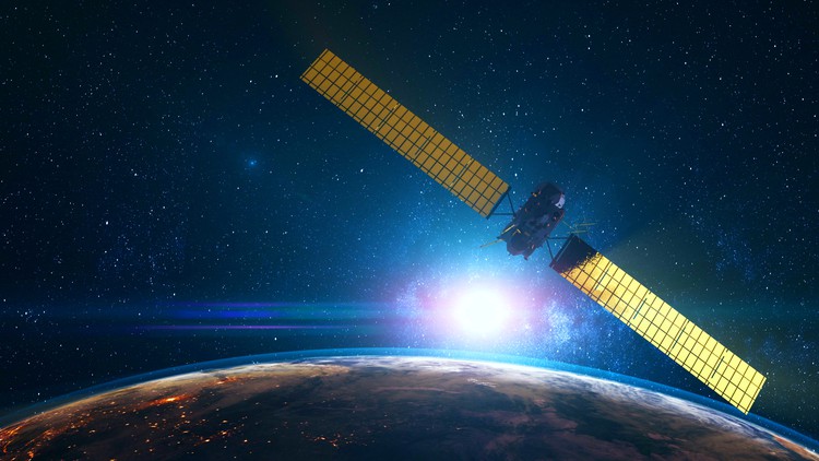
Remote sensing is a powerful tool that allows us to monitor and understand the Earth's surface by capturing data from air or space. Unlike traditional observation methods, it gives us a bird's-eye view of our planet, revealing insights that are often invisible to the naked eye. This online course, designed by AulaGEO Academy, will take you on an enlightening journey through the world of remote sensing.
What You Will Learn:
-
Earth Observation Basics: Discover how special cameras collect remotely sensed images and what these images can tell us about the Earth's physical characteristics. 📸
-
Advanced Techniques: Explore the cutting-edge technology used in sonar, thermal imaging, and the high-resolution cameras on satellites to analyze everything from ocean floors to atmospheric conditions. 🌊☀️
Key Applications of Remote Sensing:
-
Emergency Response & Disaster Management: Track large forest fires, monitor volcanic activity, and predict natural disasters by analyzing data collected from space. 🔥🌍
-
Environmental Monitoring: Use remotely sensed images to monitor climate change effects, track cloud movements, and study environmental changes over time. 🌤️🏙️
-
Agriculture & Forestry: Analyze the health of crops, deforestation rates, and the effects of human activities on natural ecosystems. 🌾🌳
-
Geology & Oceanography: Map the Earth's surface features, understand geological processes, and study the ocean floor's topography with unprecedented detail. 💎🌊
Course Structure:
Section-1: Introduction 🎓
- Get acquainted with the course and understand the impact of remote sensing on various fields.
Section-2: Remote Sensing Background 🔍
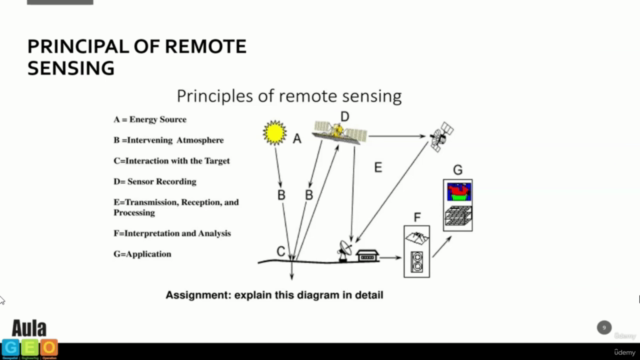
- Dive into the fundamentals of remote sensing, including its principles and key concepts.
- Journey through the history of this fascinating science.
Section-3: Types of Remote Sensing 🛰️
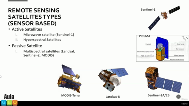
- Learn about the different types of sensors and how they influence the kind of data we collect.
- Understand the significance of resolution and purpose in remote sensing technology.
Section-4: Applications of Remote Sensing Data 🌍
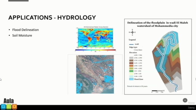
- Discover a wide array of applications in land cover, agriculture, forestry, geology, hydrology, sea-ice monitoring, and oceans & coastal management.
By the end of this course, you'll have a comprehensive understanding of remote sensing and its multifaceted applications across different disciplines. Whether you're a student, researcher, environmentalist, or simply fascinated by our planet, this course will equip you with the knowledge to harness the power of satellite imagery and data.
Enroll now and start your journey towards becoming a remote sensing expert! 🌟
Course Gallery
Loading charts...