QGIS 3.10 LTR for GIS Professionals

Why take this course?
🌐 Master QGIS 3.10 LTR for GIS Professionals: Elevate Your Spatial Strategy 🌍
Course Headline: Unlock the full potential of QGIS in your organization and enhance your spatial decision-making with our comprehensive online course tailored for GIS professionals.
Course Description:
Are you a GIS professional eager to expand your skill set in the realm of open-source Geographic Information Systems (GIS)? The latest version of QGIS is here, and it's packed with features that make it a powerful and cost-effective solution for your spatial data needs. This course is designed to give you an in-depth understanding of QGIS 3.10 LTR, ensuring that the skills you acquire are future-proof and relevant for years to come.
Why Choose QGIS?
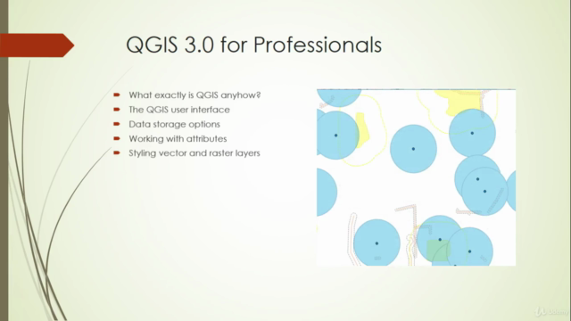
✅ Open Source Revolution: Discover what open source truly means and how it can empower your organization with flexibility and freedom. ✅ Commercial Comparisons: Understand how QGIS stands alongside proprietary GIS software in terms of functionality and performance. ✅ User-Friendly Interface: Navigate the QGIS interface with ease, and find out why it's a favorite among professionals worldwide. ✅ Versatile Data Sources: Explore various data sources, learning their pros and cons to make informed decisions for your projects. ✅ Data Styling & Analysis: Master the art of data visualization, from styling to creating detailed printed maps that captivate your audience. ✅ Advanced Functionality: Dive into the world of map atlases, spatial modeling, and even 3D data for a more comprehensive GIS experience.
Course Highlights:
- 🛠️ Comprehensive Interface Navigation: Learn your way around QGIS with confidence.
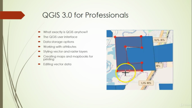
- 📊 Data Management Excellence: From selection to attribute editing, manage your data like a pro.
- 🖨️ Printed Maps & Atlases: Produce stunning maps that are both functional and visually appealing.
- 🧐 Spatial Analysis: Delve into vector and raster analysis to extract meaningful insights from your spatial data.
- 🚀 Automation & Scripting: Get started with Python scripting to automate repetitive tasks and enhance productivity.
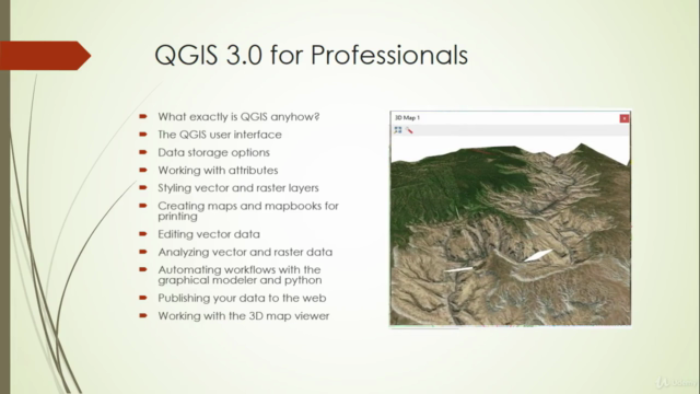
- 🌟 3D Data Exploration: Work with 3D models and visualizations for a dynamic GIS experience.
Course Outline:
- Introduction to QGIS: What it is and why it's a game-changer in the GIS landscape.
- Open Source Philosophy: Understanding the benefits and challenges of open-source software.
- Comparing QGIS with Commercial Solutions: A balanced view of where QGIS fits into your toolkit.
- QGIS Interface Mastery: Navigating and customizing the QGIS workspace to suit your needs.
- Data Sources: Knowing the strengths and limitations of different data formats.
- Data Styling & Symbolization: Effective ways to present your data for maximum impact.
- Selections, Filtering & Attributes: Managing features, editing attributes, and using selections to refine your analysis.
- Map Production: From printed maps to map atlases, learn how to produce professional-grade output.
- Analysis Techniques: Discover how to perform vector and raster analysis for informed decision-making.
- Automation with Python Scripting: Getting started with QGIS's Python API to streamline your workflow.
- 3D Data Handling: Integrating 3D elements into your spatial projects for a more immersive experience.
By the end of this course, you will not only have a solid understanding of QGIS and its capabilities but also be equipped with the skills to apply this knowledge in real-world scenarios. Whether you're an environmental scientist, urban planner, or a surveyor, QGIS 3.10 LTR will become an indispensable tool in your professional toolkit.
Join us on this journey to master QGIS and transform the way you approach spatial strategy within your organization. Sign up now and take the first step towards becoming a GIS power user! 🌟
Course Gallery


Loading charts...
Comidoc Review
Our Verdict
QGIS 3.10 LTR for GIS Professionals offers a solid foundation in QGIS while incorporating real-world use cases and practical advice.\_\_ However, some adjustments could be made to further enhance the learning experience, such as providing more exercises, focusing solely on QGIS functionality, and improving responsiveness toward students' concerns.__ This course is worth considering for GIS professionals keen on exploring open-source alternatives or expanding their geospatial toolsets.
What We Liked
- Comprehensive coverage of QGIS fundamentals, enabling students to complete 80% of their work with just 20% of the tools
- Real-world examples and practical advice for using QGIS in various GIS applications
- Well-explained and easy-to-understand lectures that help transition from ArcGIS
- Helpful course for those already familiar with other GIS applications, such as ARCgis or Global Mapper
Potential Drawbacks
- Limited practice materials provided; more exercises could be added for better hands-on experience
- Comparisons to ArcGIS might not benefit students who solely focus on QGIS without arcane GIS applications
- More responsiveness to student questions and issues could be exercised, particularly with the data sets
- Some lectures in need of updates to reflect the latest QGIS 3.x features