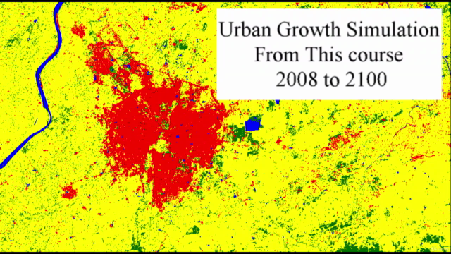
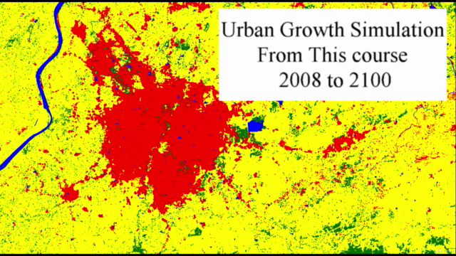
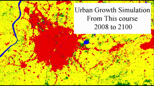
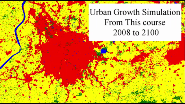
Future Land Use with GIS - TerrSet - CA Markov - ArcGIS

Why take this course?
🌟 Course Title: Future Land Use with GIS - TerrSet - CA Markov - ArcGIS
Headline: Mastering the CA Markov Model Machine Learning Approach using TerrSet Software along with ArcGIS, Erdas, and QGIS for Data Preparation
Course Description:
Dive into the World of Predictive GIS with Expert Instruction! 🌍💻
Welcome to an immersive journey into the future of land use planning with Geographic Information Systems (GIS)! In this course, you'll get hands-on experience with one of the most powerful tools in the field: TerrSet (formerly IDRISI). You'll leverage the CA Markov method to predict future landuse scenarios with a machine learning approach, all while utilizing industry-standard software such as ArcGIS, Erdas, and QGIS for data preparation. 🛠️📊
What You'll Learn:
- Hands-On GIS Skills: Master the practical application of TerrSet Software for landuse prediction without the need for coding. 🖥️
- Data Preparation with ArcGIS & Erdas: Learn to prepare your datasets accurately with these leading GIS tools, ensuring a solid foundation for your predictive modeling. 🗺️
- CA Markov Modeling: Understand and apply the CA Markov method, a machine learning approach to forecast future land use patterns based on various driving forces. 🧠📈
- Identifying Driving Forces: Recognize factors such as historical city boundaries, road networks, agricultural potential, forest cover, and more that influence urban expansion. 🏙️🌳
- Avoiding Prohibited Landuse Classes: Learn to exclude water bodies, rivers, lakes, or reservoirs from urban conversion scenarios within your model. 🚫💦
- Model Setup and Refinement: Gain insights into setting up your model to achieve high learning and prediction accuracy, with practical examples of achieving 42% and 67% accuracy in different runs, and reaching an impressive 89% in predicted landuse outcomes. 🚀
- Accuracy Considerations: Understand the importance of not only aiming for high learning accuracy but also ensuring your predictions are accurate and realistic. 🎯
- Real-World Application: Apply the concepts learned in this course to achieve a balance between theoretical knowledge and practical skills, with approximately 90% of the content focused on hands-on practice. 🏫🔧
Instructor's Note:
- For those familiar with IDRISI Taiga, you can follow the same steps outlined in this course.
- Course Structure: The course is designed to be 90% practical and 10% theoretical, ensuring you leave with a deep understanding of the tools and techniques.
- Interactive Learning: Have questions? Don't hesitate to ask during the Q&A sessions. Your instructor is here to guide you through every step of the learning process. 🤝
Free Preview Video: Before diving into the full course, we recommend watching the free preview video to get an understanding of the expertise level required for this advanced course.
Ready to shape the future of land use planning with cutting-edge GIS technology? Enroll now and embark on a path towards mastering predictive modeling with TerrSet! 🌟📅
Enhance Your Skills Today and Transform Tomorrow's Land Use Scenarios with Confidence! 🚀🌍💪
Course Gallery


Loading charts...