Practical QGIS For Spatial Data Analysis: Beginner to Expert

Why take this course?
GroupLayout: column; FontSize: large; Headline: Master Geographic Information Systems (GIS) For Spatial Data Analysis With QGIS: Go from Basic To Expert Level
🌟 MASTER SPATIAL DATA ANALYSIS IN QGIS: HANDS-ON GEOGRAPHIC INFORMATION SYSTEM (GIS) TRAINING WITH REAL SPATIAL DATASETS 🌟
Are you ready to delve into the world of Geographic Information Systems (GIS)? Do you crave a course that offers practical, hands-on experience with real spatial data? If you're nodding along, you've come to the right place! 🌍🔍
Why Choose This Course?
-
Practical Over Theoretical: Say goodbye to vague, theoretical explanations found in GIS books and manuals. Our course focuses on practical skills that you can immediately apply. ✂️📚
-
Beginner to Expert: Whether you're a beginner or looking to refine your skills, this course will guide you from the basics all the way to expert-level proficiency with QGIS. 🏗️➡️🚀
-
Real Spatial Data: Learn using real datasets, not hypothetical examples. Our approach ensures that the skills you acquire are directly applicable to the challenges you'll encounter in the field. 📊🔧
Your Instructor: Minerva Singh 👩🏫
As an expert data scientist, Minerva Singh brings her wealth of knowledge from prestigious institutions like Oxford University (where she earned an MPhil in Geography and Environment) and Cambridge University (with a PhD in Computational Ecology). Minerva is not just a teacher; she's a seasoned practitioner who has walked the path from academic theory to real-world application. 🎓✨
Course Highlights:
-
Foundational Concepts: Understand the core principles of GIS and learn how they apply to spatial data analysis.
-
Hands-On Learning: Get practical experience with raster and shapefile data, mastering important GIS tasks like topographic product derivation and spatial cluster mapping.
-
Real-Life Data Analysis: Work with actual datasets and learn to implement spatial data analysis techniques effectively.
-
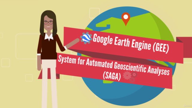
Advanced Tools & Techniques: Utilize powerful tools such as the Google Earth Engine (GEE) plugin and the SAGA processing toolbox to enhance your analysis capabilities. 🛠️💻
What You Will Learn:
-
Each video in this course is designed to teach you a new, practical GIS skill that can be applied directly to your own spatial data analysis tasks.
-
Gain confidence in using QGIS for a wide range of GIS applications and become adept at interpreting complex spatial data. 📈🔍
-
Enjoy the flexibility of learning at your own pace, with lifetime access to course materials.
Satisfaction Guaranteed: If you feel that this course doesn't meet your expectations for any reason, I offer a full refund within 30 days of your purchase. Your satisfaction is my priority! 🤝🎉
Embark on your journey to becoming an expert in Geographic Information Systems (GIS) using the freeware QGIS. Enroll in this course today and unlock the power of spatial data analysis! ✅🌍💻
#dataanalysis #spatialdata #GIS
Join me, Minerva Singh, and together we'll transform your ability to analyze and interpret spatial data with QGIS. Let's get started on this exciting learning journey! 🚀✨
Course Gallery


Loading charts...