Pix4Dmapper Pro - Procesamiento de Imágenes Aéreas

Why take this course?
🛫 Procesamiento de Imágenes Aéreas con Pix4Dmapper Pro 🚀
Course Description:
Embark on a journey to master the skies with our comprehensive online course, Pix4Dmapper Pro - Processing Aerial Images, tailored for professionals and enthusiasts who aim to harness the power of UAV (drones) imagery. This course is your key to unlocking the potential of high-resolution maps, detailed 3D models, and sophisticated aerial data analysis.
Why Take This Course?
- Industry-Relevant Skills: Learn to create precise and actionable geospatial data for applications ranging from agriculture and mining to urban planning and environmental monitoring.
- Cutting-Edge Software Mastery: Gain proficiency in Pix4Dmapper Pro, the go-to software for processing aerial imagery into valuable insights.
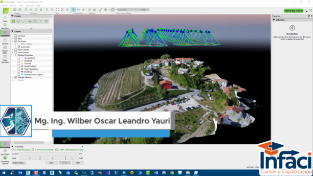
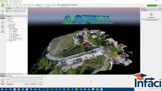
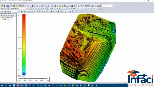
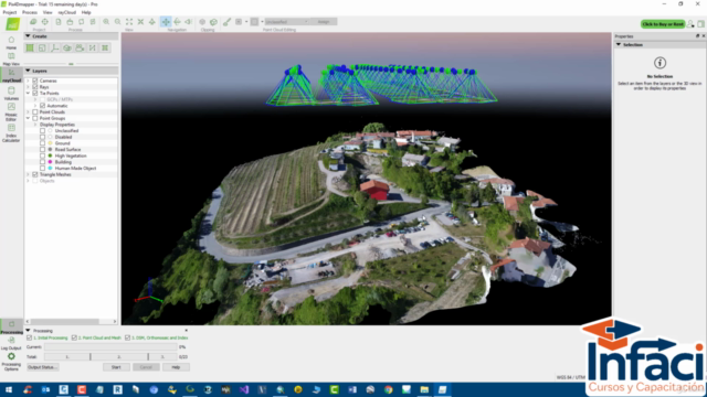
- Versatile Outputs: Understand how to generate a variety of outputs tailored to your project needs, including Model Digital Surface (DSM), Model Digital Terrain (DTM), Contour Lines (DWT, SHP), Orthomosaics (TIFF, JPG, PNG), 3D models (OBJ, DAT), and LiDAR datasets (LAS, XYZ).
Course Outline:
-
Introduction to Aerial Imagery Processing: Learn the fundamentals and understand the importance of processing aerial images for various industries.
- Overview of Pix4Dmapper Pro
- Understanding Project Settings and Data Inputs
- Setting up Your First Project
-
Data Processing & Analysis: Dive deep into processing techniques and data analysis, with hands-on practice.
- Generating Orthomosaics
- Creating Model DSM/DTM
- Extracting Vector Data (Contour Lines)
- 3D Model Creation & Visualization
- LiDAR Point Cloud Processing
-
Advanced Features & Troubleshooting: Explore advanced features and learn to troubleshoot common issues.
- Working with Large Datasets
- Classification & Feature Extraction
- Customizing Outputs for Specific Use Cases
- Tips for Efficient Data Processing
-
Real-World Applications: See how Pix4Dmapper Pro is used in various sectors and learn best practices.
- Agriculture: Monitor crop health, yield estimation
- Mining: Volume calculations, site monitoring
- Urban Planning: Land use mapping, infrastructure inspection
- Environmental Studies: Assessing ecological impacts, habitat analysis
By the End of This Course:
You will be equipped with the knowledge and skills to confidently process aerial imagery using Pix4Dmapper Pro. You'll be able to extract valuable insights and create detailed maps and models that can inform decision-making processes in a multitude of industries.
Who Should Take This Course?
This course is ideal for:
- Surveyors & Mapping Professionals: Looking to expand their skillset with the latest UAV technology.
- GIS Analysts: Seeking to incorporate aerial imagery into their geospatial analysis workflow.
- Environmental Scientists: Needing high-resolution data for habitat mapping and ecological research.
- Agricultural Specialists: Wanting to monitor crop health and optimize farming practices.
- UAV Operators: Aiming to add processing capabilities to their UAV application portfolio.
Enroll Now & Elevate Your Geospatial Expertise! 🌟
Join us today and transform the way you handle aerial imagery data with Pix4Dmapper Pro! ✈️📍✨
Course Gallery


Loading charts...