Perfect Planning for DJI Drones
Why take this course?
🚀 Course Title: Perfect Planning for DJI Drones: Master Amazing Shots with Google Earth!
🧭 Headline: Learn how to create & simulate stunning DJI drone shots in the comfort of your home using Google Earth Pro!
About the Course
Discover a game-changing approach to drone photography that will transform the way you capture aerial imagery.
🎉 Course Instructor: Laurence Seberini, an industry expert with years of experience in aerial videography and drone operations.
📏 Compatibility & Requirements:
- DJI Models: Compatible with all Mavic, Phantom 3/4, and Inspire models.
- Operating System: Windows only (Mac users can run the software using Parallels).
- Google Earth Pro: Must support 3D buildings in your area.
Why You Need Perfect Planning for DJI Drones: 🌟 Simulate Shots Before Flying: Eliminate guesswork and wasted batteries by planning your shots meticulously.
✈️ Avoid Stress & Crashes: See potential issues beforehand, ensuring a smoother flight and safer operations.
🏠 Perfect for Professionals: Ideal for real estate, architecture, construction, progress reports, surveys, 3D modeling, inspections, and more!
Course Curriculum
Module 1: Introduction to Perfect Planning with Google Earth Pro
- Understanding the tools available in Google Earth Pro
- Setting up your workspace for drone planning
Module 2: Composing Stunning Aerial Shots
- How to use Google Earth Pro's 3D buildings to frame your shots
- Tips and tricks for composing visually appealing imagery
Module 3: Simulating Your Drone Mission
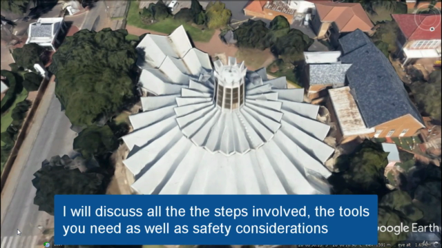
- Step-by-step guide on how to simulate your flight path in Google Earth Pro
- How to adjust altitude, angles, and paths for the perfect shot
Module 4: Refining & Editing Your Shots
- Techniques to refine your composition in the virtual environment
- Editing tools in Google Earth Pro that can enhance your images
Module 5: Real-World Application
- Planning a flight path to avoid obstacles and restricted areas
- How to save and export your planned shots for actual drone flights
What You'll Learn:
-
Efficient Planning: Learn how to plan your drone flights to save time, battery life, and potentially avoid costly accidents.
-
Virtual Simulation: Use Google Earth Pro to simulate drone flights, giving you a preview of what you can expect when you take off.
-
Shot Composition Mastery: Gain the skills to compose stunning aerial images that stand out from the crowd.
-
Post-Processing Techniques: Understand how to refine your shots in Google Earth Pro for even better results.
Who Is This Course For?
- Beginner Drone Pilots: Learn the basics of planning drone flights with precision.
- Experienced Drone Operators: Elevate your aerial imagery and planning process.
- Real Estate Professionals, Architects, & Surveyors: Capture detailed, high-quality images that showcase properties or construction sites.
- Anyone Interested in Aerial Photography: Learn how to plan and execute stunning drone shots with ease.
Ready to take your DJI drone photography to the next level? 📸 Enroll today and start planning perfect shots every time you fly!
Course Gallery
Loading charts...