Object-based Image Analysis & Classification in QGIS ArcGIS

Why take this course?
Master Object-Based Image Analysis & Classification with QGIS & ArcGIS 🚀
Course Highlights:
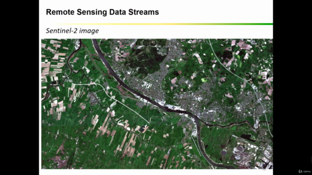
- Unlock the Secrets of Satellite Data: Dive into the world of Geospatial Analysis and learn how to harness the power of Machine Learning in Remote Sensing.
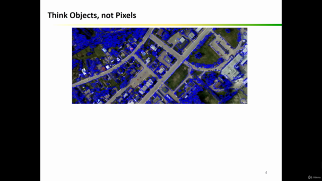
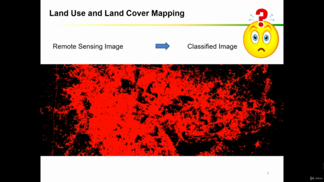
- Expertise at Your Fingertips: Advance your skills in QGIS and ArcGIS, becoming a pro at Object-Based Image Analysis (OBIA) for Land Use and Land Cover (LULC) mapping. 🌍
- Hands-On Learning: Engage with real datasets and practical exercises that will transform you into a confident LULC mapping specialist. 📊
- State-of-the-Art Techniques: Learn to apply the latest Machine Learning algorithms like Random Forest and Support Vector Machines in your analysis. 🤖
- Real-World Application: Apply your newfound knowledge to a crop classification task, using actual project data to see tangible results. 🌾
Course Introduction: Welcome, geospatial enthusiasts! This intermediate to advanced course is your gateway to mastering object-based image analysis for land use and land cover mapping using QGIS and ArcGIS. Designed for those with a grasp of the basics in both GIS platforms, this course will take you through advanced LULC mapping techniques that are crucial in today's geospatial landscape. 📚
Prerequisite Knowledge: Before jumping in, ensure you have a foundational understanding of Remote Sensing image analysis. This course builds on your existing knowledge, pushing your skills to the next level. ✅
Unique Approach: This course stands out with its practical, step-by-step guidance that makes complex concepts accessible and easy to implement. You'll learn through real-world scenarios and hands-on practice, ensuring you can apply these skills directly to your own projects. 🛠️
Course Content:
- Theory Meets Practice: Understand the fundamentals of OBIA and LULC mapping.
- Segmentation Mastery: Learn the ins and outs of image segmentation in QGIS and ArcGIS.
- Real-Life Tasks: Tackle an actual crop classification project with real datasets.
- Machine Learning Algorithms: Explore advanced algorithms like Random Forest and Support Vector Machines for LULC mapping.
Target Audience: This course is a must for:
- Geographers, Programmers, & Social Scientists
- Environmental & Geological Scientists
- GIS & Remote Sensing Experts
- And anyone else who requires high-quality LULC maps and seeks to understand the basics of change detection in GIS. 🎓
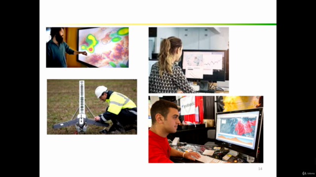
Practical Exercises: Get hands-on with exercises that include precise instructions, code snippets, and datasets to create your own LULC and change detection maps using ArcGIS and QGIS. You'll be equipped to handle real-world geospatial challenges confidently. 🖥️
Course Inclusions: Enroll in this course today and gain:
- Access to course data sets
- Java code files for your projects
- Additional resources to enhance your learning journey
Don't wait to elevate your GIS skills to new heights! Join us now and become a leader in Geospatial Analysis with OBIA & Object-Based Image Classification in QGIS & ArcGIS. 🌟
Course Gallery


Loading charts...