MySQL for Geospatial Applications

Why take this course?
🌏 MySQL for Geospatial Applications: Build your own multi-user enterprise GIS for free
🚀 Course Headline: Dive into the world of spatial databases with MySQL, and elevate your GIS skills to new heights! This course is a game-changer for professionals looking to leverage powerful geospatial capabilities within a multi-user enterprise environment, all for free.
🌍 Course Description: Are you a GIS professional eager to expand your expertise into the realm of multi-user enterprise spatial databases? Look no further! MySQL for Geospatial Applications is designed to introduce you to the intricacies of spatial databases through MySQL, which is both ubiquitous and cost-effective. With its geospatial capabilities fully integrated since version 5.6, MySQL is a robust solution that doesn't compromise on essential functionalities—even if it doesn't have all the advanced features of PostGIS yet.
🧠 What You'll Learn:
- Spatial Databases Explained: Understand why they are indispensable for modern GIS applications.
- Mastering SQL in Geospatial Contexts: Discover how SQL can be your powerful ally for geospatial data analysis and manipulation.
- MySQL Installation: Set up MySQL on your local machine for development or connect to a production instance over the network/internet.
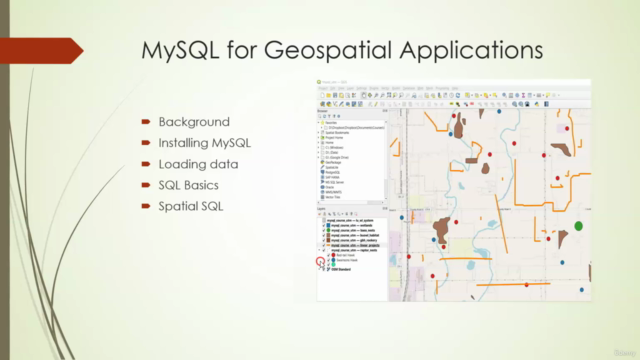
- Spatial Data Handling: Learn to load, manage, and visualize your spatial data in MySQL with QGIS and other clients.
- SQL Query Basics: Get familiar with both spatial and non-spatial SQL queries.
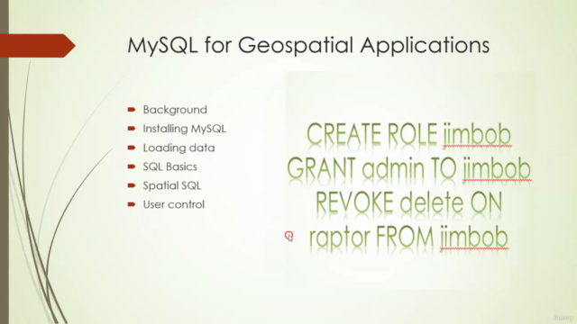
- Data Validation & User Access Control: Ensure data integrity and secure user access within your spatial database.
- Performance Optimization: Write efficient queries to handle large datasets without compromising on performance.
- Custom Functions: Create stored procedures tailored to your specific needs with MySQL's programming capabilities.
- Database Administration: Master the art of maintaining and administering a healthy and responsive spatial database.
- Web Deployment: Make your database available online, providing access to users worldwide (with proper permissions, of course).
🛠️ Why Choose MySQL for Geospatial Applications?
- Cost-Effective: Utilize one of the most cost-effective spatial databases available.
- Wide Availability: MySQL runs on virtually all web-hosting platforms, making it incredibly accessible.
- Ease of Use: This course is designed to be as practical and user-friendly as possible, ensuring you can apply what you learn in real-world scenarios.
- Current and Comprehensive: We're using the latest versions of MySQL (8.0) and QGIS (3.28), so you can rest assured that the content is up-to-date and thorough.
🎓 Who Is This Course For? This course is perfect for GIS professionals, developers, data analysts, and anyone looking to gain practical skills in spatial database management using MySQL. Whether you're new to geospatial applications or looking to switch from PostGIS to MySQL, this course will equip you with the knowledge and skills necessary to manage a robust spatial database.
Embark on your journey to becoming a proficient spatial database manager today! 🚀🌟
Course Gallery


Loading charts...