Mastering the Download of Remote Sensing and GIS Data
Why take this course?
🌏 Mastering the Download of Remote Sensing and GIS Data
Your Comprehensive Guide to Efficient Data Acquisition
Are you ready to master the art of acquiring remote sensing and GIS data?
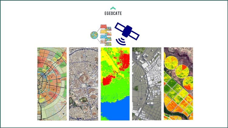
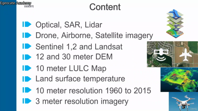
This course is meticulously designed to equip you with the essential skills and knowledge needed to efficiently access and download a wide variety of geospatial data from both free and commercial sources. 🌍🛰️
Course Overview:
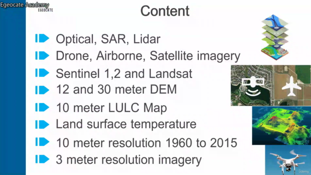
- Understanding Remote Sensing Data Types: Learn about the different types of remote sensing data, including optical imagery, radar, LiDAR, thermal, hyperspectral data, and more.
- GIS Data Exploration: Get familiar with vector and raster formats in GIS data.
- Free Platforms Tutorial: Step-by-step guidance on using platforms like Sentinel Hub, NASA Earthdata, USGS Earth Explorer, Google Earth Engine, and Copernicus Open Access Hub.
- Commercial Data Provider Insights: Understand the acquisition process of commercial data providers.
Why Take This Course?
By the end of this course, you'll be proficient in:
- Accessing and downloading high-quality remote sensing and GIS data.
- Integrating multiple data sources for comprehensive analysis.
- Enhancing your projects, research, and professional endeavours with advanced spatial data insights.
Who Should Take This Course?
This course is designed for:
- Students and Academics: Dive into the world of geospatial data for your studies in fields like geography, environmental science, or urban planning.
- Professionals in Geospatial Fields: Elevate your data acquisition skills in GIS and remote sensing industries.
- Researchers: Integrate remote sensing and GIS data into your research for more accurate findings.
- Government and NGO Staff: Use spatial data for environmental monitoring, urban planning, disaster management, and policy-making.
- Tech Enthusiasts and Hobbyists: Satisfy your curiosity about the power of remote sensing and GIS data.
- Data Scientists and Analysts: Incorporate spatial data into your analytical workflows to gain deeper insights.
- Environmental Consultants: Perform environmental impact assessments with reliable data sources.
- Urban Planners and Architects: Plan and design urban spaces using accurate spatial information.
- Disaster Management Experts: Prepare for and respond to disasters with precise spatial data analysis.
- Educators: Bring the latest in remote sensing and GIS into your classroom to inspire and educate.
Join Kafui Chomani, an expert in the field of remote sensing and GIS, on this journey through the vast landscape of geospatial data acquisition. With this course, you'll be well-equipped to access and utilize the powerful information that remote sensing and GIS data provide, no matter your level of expertise. 📊🌟
Unlock the potential of spatial data and transform the way you work with our "Mastering the Download of Remote Sensing and GIS Data" course today! 🚀💻
Course Gallery
Loading charts...