Machine Learning in GIS : Understand the Theory and Practice
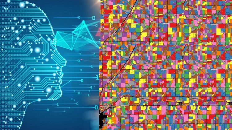
Why take this course?
🌱 Course Title: Machine Learning in Spatial Analysis: GIS & Remote Sensing with Kate Alison
🎓 Headline: Understand & Apply Machine Learning in Geographic Information Systems and Remote Sensing in QGIS and Google Earth Engine
Unlock the Secrets of Machine Learning in GIS & Remote Sensing! 🚀
Are you eager to harness the power of Machine Learning for geospatial analysis, but not sure where to start? Welcome to our course, designed to equip you with the theoretical and practical knowledge of Machine Learning applied in the fields of Geographic Information Systems (GIS) and Remote Sensing. Whether you're interested in land use and land cover mapping, classifications, or object-based image analysis, this course has you covered.
Course Highlights:
- Theoretical and Practical Understanding: Learn the fundamentals of Machine Learning within the context of GIS and Remote Sensing.
- Diverse Machine Learning Algorithms: Apply Random Forest, Support Vector Machines, and Decision Trees algorithms in real-world scenarios.
- Hands-On GIS Project: Complete a full project with hands-on exercises that will solidify your understanding of the concepts learned.
- Cloud Computing & Big Data Analysis: Utilize Google Earth Engine to analyze large datasets and perform complex geospatial analyses.
- Professionals Across Fields: Ideal for professionals from various domains, not just those in GIS/Remote Sensing.
- Comprehensive Learning Materials: Step-by-step instructions and downloadable practical materials to support your learning journey.
Course Focus: This comprehensive course delves into the realm of Machine Learning in geospatial analysis, offering a blend of theory and practical application. Upon course completion, you will possess the knowledge and confidence to harness Machine Learning for a wide range of geospatial tasks. 🌍⚛️
What You'll Learn:
- Installing GIS Software: Set up open-source GIS software (QGIS, OTB toolbox) on your system with proper configuration.
- Navigating QGIS: Master the QGIS interface, its components, and useful plug-ins to enhance your workflow.
- Machine Learning Algorithms in QGIS: Classify satellite images using Random Forest, Support Vector Machines, or Decision Trees algorithms.
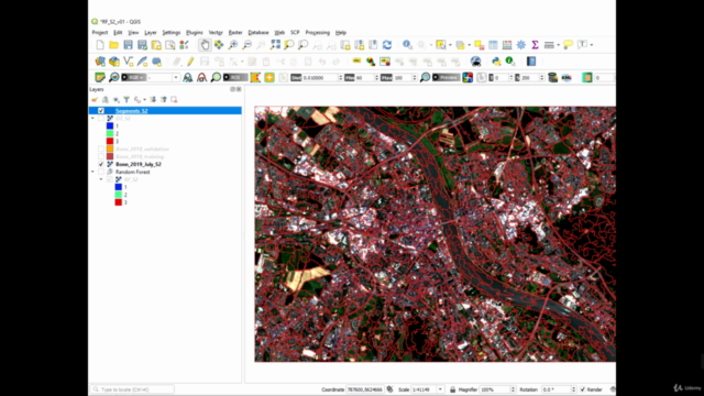
- Image Segmentation Techniques: Learn advanced techniques for image segmentation within the QGIS environment.
- Google Earth Engine for Land Cover Mapping: Prepare your first land cover map by utilizing the cloud computing capabilities of Google Earth Engine.
Who Should Enroll: This course caters to a diverse audience, including but not limited to geographers, programmers, social scientists, and geologists. It is designed for professionals who use maps in their work and anticipate tasks that demand state-of-the-art Machine Learning algorithms for land cover and land use mapping. This course empowers you with the skills to address such geospatial challenges effectively.
INCLUDED IN THE COURSE:
- Step-by-Step Instructions: Clear guidance through each concept and hands-on exercise.
- Practical Materials & Datasets: Access to essential materials, datasets, and exercises for a practical learning experience.
- Expert Support: Benefit from Kate Alison's expertise and support throughout the course.
📅 Enroll Now & Start Your Journey in Mastering Machine Learning for GIS & Remote Sensing! 🎓⬇️
Take the first step towards mastering machine learning within the geospatial domain. Enroll in "Machine Learning in Spatial Analysis: GIS & Remote Sensing" and transform your skills today!
Course Gallery
Loading charts...