ArcGIS Pro for Beginners: Learn GIS from Scratch - AulaGEO

Why take this course?
Course Title: ArcGIS Pro - Learn Easy! 🌟
Course Headline: Dive into the World of Mapping with ArcGIS Pro, Your Gateway to Geographic Information Systems (GIS) Mastery!
Course Description: 🗺️
Discover the powerful capabilities of ArcGIS Pro, the latest evolution from ArcMap. This course is designed for beginners who are eager to learn the fundamentals of this cutting-edge GIS platform. We'll start with the basics and progress through data editing, spatial data selection, and bookmark creation. You'll also learn how to digitize shapefiles, add and edit layers, and manipulate attribute data.
By the end of this course, you'll be proficient in:
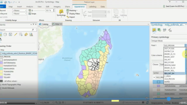
- Utilizing symbology to visually represent features
- Labeling points, lines, and polygons with precision
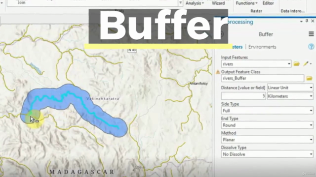
- Performing buffer analyses and importing Excel data
- Georeferencing images to enhance your spatial data
- Sharing your data and final maps online
What will the user learn? 🚀
- The essential tools and features of ArcGIS Pro
- How to select and edit spatial data based on attributes and location
- Techniques for data visualization and labeling
- Methods for geospatial analysis, including buffer analysis
- Steps to share your GIS work with the world
This course includes: 🎓
-
The Basics with ArcGIS Pro
- Class 1: Let's Start with ArcGIS Pro
- Class 2: Data Selection and Filtering
- Class 3: Using Bookmarks for Efficient Navigation
-
Creating and Editing Spatial Data
- Class 4: Import Data from Excel
- Class 5: Symbology Data for Effective Visualization
- Class 6: Editing Attribute Data with Ease
- Class 7: Labeling Features Like a Pro
- Class 8: Digitization of Geographic Information with Precision
- Class 9: Georeferencing of Images to Align Your Data
-
Analysis Data
- Class 10: Buffer Analysis to Explore Areas and Distances
-
Publishing Contents from ArcGIS Pro
- Class 11: Map Generation for Clear Communication
- Class 12: Let's Do It in AulaGEO - Step-by-Step Exercises (Class 13 includes the implications of transitioning from ArcMap to ArcGIS Pro)
- Class 14: Import CAD Data to GIS for Structural Analysis
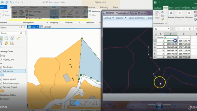
- Class 15: Import Coordinates from Excel for Polygon Splitting
- Class 16: Calculation of Areas and Composition of Calculated Fields
- Class 17: Buffer Analysis for Spatial Insights
- Class 18: Attribute Labeling to Highlight Key Data Points
- Class 19: Thematization by Attributes to Enhance Interpretation
- Class 20: Digitization Tricks to Streamline Your Workflow
- Class 21: Gereferencing Images for Accurate Spatial Alignment
Why Join ArcGIS Pro - Learn Easy!? 🎓✨
- Easy-to-Follow Structure: Each class is designed to build upon the previous one, ensuring a seamless learning experience.
- Real-World Application: Apply what you learn directly to your GIS projects for immediate practical experience.
- Expert Guidance: Learn from Golgi Alvarez, an experienced instructor who will guide you through each concept and exercise.
- Interactive Exercises: Engage with hands-on activities that reinforce your learning and allow you to practice new skills in a supportive environment.
- Join a Community of Learners: Connect with peers and professionals within the AulaGEO platform, share experiences, and grow together.
Enroll now and embark on your journey to mastering ArcGIS Pro with AulaGEO! 🌐🚀
Course Gallery


Loading charts...