Leaflet From Scratch With A GeoDjango Project
Why take this course?
🌱 Course Instructor: Ikrom Nishanbaev
🚀 Course Title: Leaflet From Scratch With A GeoDjango Project
🌍 Master Leaflet Web Mapping Applications!
Are you ready to unlock the world of interactive web mapping applications? Dive into the realm of geospatial development with our comprehensive course, "Leaflet From Scratch With A GeoDjango Project"! 🗺️🚀
What You'll Discover in This Course:
-
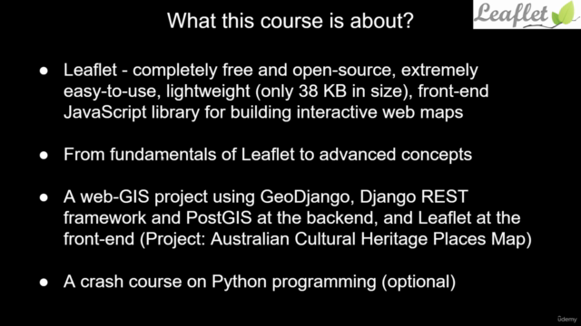
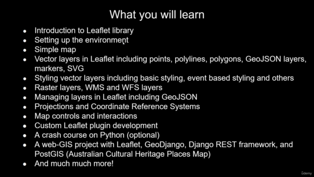
Introduction to Leaflet Library: We'll kick things off by exploring the fundamentals of the Leaflet library, a robust and user-friendly open-source JavaScript tool for creating interactive maps. 📚
-
Setting Up Your Development Environment: Get your workspace ready with all the necessary tools and dependencies to start building your own web mapping applications without any hiccups! 🛠️
-
Simple Map Creation: Learn how to create a basic map that sets the foundation for more complex geospatial projects. 🗺️✨
-
Deep Dive into Leaflet Concepts: From vector layers to raster layers, we'll cover all the key components and concepts of Leaflet. You'll become an expert in handling points, polylines, polygons, GeoJSON, markers, and scalable vector graphics. 📊
-
Styling Vector Layers: Discover how to add style to your map layers with various options like basic styling, event-based styling, and more. Make your maps visually appealing and informative! 🎨
-
Working with Raster Layers: Explore the integration of WMS (Web Map Service) and WFS (Web Feature Service) layers to enhance your mapping capabilities. 🌐
-
Layers Management: Master the art of managing different types of layers in Leaflet, including handling GeoJSON efficiently. 🛣️
-
Map Projections and CRS: Understand projections and coordinate reference systems, and learn how to manage geospatial data across different systems. 📏🌍
-
Custom Map Controls and Interactions: Create custom controls and interactions to tailor the user experience of your web applications. 🤝
-
Python Crash Course (Optional): For those who are new to Python, we offer a crash course that will cover the essentials needed for the project development. 🐍
-
Full Stack Web-GIS Development: Combine Leaflet with Django and GeoDjango, along with the Django REST Framework and PostGIS, to build robust back-end services for your web applications. 🛠️💻
By the end of this course, you'll have the skills and knowledge to:
- Build amazing web mapping applications using Leaflet from scratch.
- Understand and utilize GeoDjango, Django REST framework, and PostGIS in your projects for advanced geospatial database interactions.
- Create a complete project that integrates all the concepts learned throughout the course. 🏆
Join us on this exciting journey to become a Leaflet web mapping expert! 🎉🌍
Course Gallery
Loading charts...