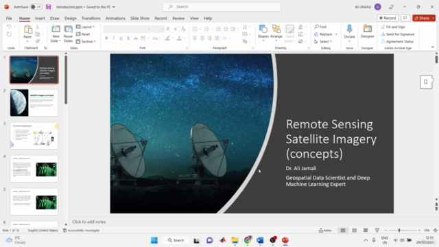
ML algorithms development for land cover mapping (0-100)

Why take this course?
🌱 Master Land Cover Mapping with ML Algorithms!
🚀 Course Title: ML algorithms development for land cover mapping (0-100)
🌍 Course Description:
Dive into the fascinating world of Earth observation and master the art of land cover mapping using state-of-the-art machine learning algorithms with our comprehensive online course! This course is designed to equip you with the skills needed to harness the power of open-source software, QGIS, and cloud-computing platforms like Google Earth Engine (GEE) and Google Colab for effective object extraction and mapping from high-resolution satellite imagery.
🌤️ Key Features of the Course:
-
Foundation in Remote Sensing: Get a solid grasp of the fundamentals of remote sensing, which is pivotal for understanding how different land types can be identified and monitored from space.
-
Satellite Data Collection: Learn how to efficiently collect your satellite data using GEE, and seamlessly export it into your hard drive or Google Drive, making data accessibility a breeze.
-
Machine Learning Mastery: Explore advanced machine learning algorithms such as Decision Trees, Random Forest, and Extra Trees within the cloud-computing environment of Google Colab, avoiding the common pitfalls of software like Anaconda.
-
Data Preparation with QGIS: Create your ground truth data in QGIS to support accurate reference vector data for your machine learning models. Then, convert this data into raster format for analysis.
-
Machine Learning Model Development: Import your datasets into Google Colab and develop robust land use land cover (LULC) mapping models using the latest machine learning techniques.
-
Model Validation and Feature Importance: Validate your developed models to ensure their accuracy in classifying land covers, and understand the importance of different features in your predictions through tree-based algorithms.
-
Exporting Results: Export your classification maps directly to your hard drive, ready for further analysis or presentation.
-
Map Layout Production: Learn how to design a professional map layout using QGIS, showcasing the results of your LULC mapping efforts.
Why Take This Course?
-
Practical Skills: Transition from theoretical knowledge to hands-on experience with real-world applications in land cover mapping.
-
Industry Tools: Utilize leading industry tools and platforms to enhance your analytical skills.
-
Open-Source Advantage: Benefit from the flexibility and accessibility of open-source software, QGIS, and cloud-based platforms like GEE and Google Colab.
-
Real-Time Data Analysis: Learn how to work with current and high-resolution satellite data, keeping you at the forefront of remote sensing technology.
🎓 By completing this course, you will be able to:
- Collect and process satellite imagery using GEE and Google Colab.
- Develop advanced machine learning models for land cover mapping.
- Validate and interpret your models' performance.
- Understand feature importance in the context of machine learning algorithms.
- Produce high-quality, professional maps for LULC classification.
Join us on this journey to understand and utilize advanced ML algorithms for land cover mapping. Whether you're a student, researcher, or environmental enthusiast, this course will provide you with the tools and knowledge to make a real impact in the field of Earth observation! 📡🌍✨
Enroll now and unlock your potential in land cover mapping with machine learning!
Course Gallery


Loading charts...