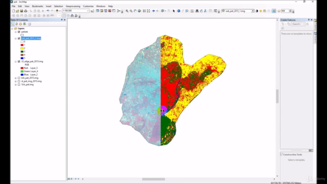
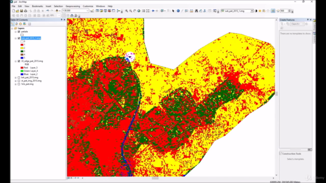
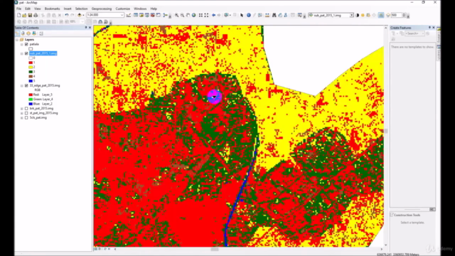
Land use Land cover classification GIS, ERDAS, ArcGIS, ML

Why take this course?
🌱 Master Land Use Land Cover Classification with GIS, RS, and ML 🎉
Course Title: Land Use Land Cover Classification using GIS, ERDAS, ArcGIS, ML: Scratch to Advanced Techniques
Embark on a Comprehensive Learning Journey! 🚀
Welcome to the first-ever land use land cover course on Udemy, specifically tailored for GIS enthusiasts and professionals. This demanding topic is demystified as I guide you from raw data acquisition to achieving accurate final results using ERDAS, ArcGIS, ENVI, and Machine Learning (ML) tools.
🚀 What You'll Learn:
- Data Preparation: Master the art of downloading, preprocessing, and correcting error pixels in remote sensing images.
- Land Use Classification Techniques: Dive into unparalleled methods including supervised, unsupervised, and combined approaches, tailored to achieve high precision in your land use classification.
- Pixel Correction Methods: Discover innovative techniques to refine pixel accuracy within specific areas for maximum results.
- Theory & Practice Balance: With a strong emphasis on practical applications, the course offers a balanced learning experience with essential theoretical concepts explained alongside data processing.
- ML Integration: Learn how to integrate machine learning into image classification for enhanced predictive capabilities.
📊 Key Features:
- Accuracy Assessment: Generate an accuracy assessment report in ERDAS to validate your results.
- Versatile Software Application: The course is compatible with Erdas versions 2014, 2015, 2016, and 2018, and ArcGIS versions 10.1 and above (10.4, 10.7, or 10.8).
- 90% Practical & 10% Theory: Emphasizes hands-on practice with a foundational understanding of the principles behind each process.
Overcome Common Challenges! 🌟
This course addresses common issues faced during land use classification, such as:
- Urban areas and barren lands having similar signatures.
- Dry riverbeds reflecting the same signature as urban and barren lands.
- Difficulties in classifying urban areas due to errors in barren land classification.
- Challenges in classifying forests located in hilly shade areas.
- Adding new classes even after the final work is complete.
Solutions Await Within This Course! 🗺️
By joining this course, you'll gain the knowledge and skills to overcome these obstacles and more. With step-by-step guidance on each method and its practical application in different types of study areas, you'll be well-equipped to tackle any land use classification challenge with confidence.
Enroll Now & Transform Your GIS Skills! 📈
Don't miss out on the opportunity to master Land Use Land Cover Classification using cutting-edge technologies in Geographic Information Systems, Remote Sensing, and Machine Learning. Whether you're a beginner or an advanced user, this course will take your skills from scratch to advanced with real-world applications.
Sign up today and start your journey towards becoming a GIS expert! 🌱💻✨
Course Gallery


Loading charts...
Comidoc Review
Our Verdict
This course is a must-enroll for those looking to expand their knowledge in remote sensing, image processing, and land use classification. The instructor's expertise shines through the content with easy-to-follow examples, even though some learners might need additional guidance on specific software. However, the majority of those who complete the course appreciate the practical applications covered and leave equipped to implement their newfound skills in real-life projects.
What We Liked
- Comprehensive coverage of land use classification using various software including ERDAS, ArcGIS, and ML
- In-depth explanation of image processing and analysis techniques, accuracy assessment report generation, and pixel level corrections
- Real-life scenarios and practical examples make the learning experience engaging and effective
- High-quality video content and step-by-step guidance for all levels of learners
Potential Drawbacks
- Lack of focus on specific software (ArcGIS) requested by some learners, which may limit its applicability in certain use cases
- A few learners reported issues in following the instructions due to variations in software interfaces across versions
- While most learners appreciated the theoretical knowledge provided, a handful of users expressed a desire for more hands-on assignments
- Limited scope for pre-processing tasks like atmospheric corrections and radiometric correction