Introduction to Open Source Web GIS Programming

Why take this course?
🌐 Introduction to Open Source Web GIS Programming
🚀 Headline: Let's Make the Digital Maps. Learn about LeafletJS, GeoDjango, PostGIS, and GeoServer!
Course Overview:
Welcome to our journey into the world of Open Source Web GIS Programming! This course is tailored for enthusiasts and professionals who aspire to develop cutting-edge web mapping applications. With a hands-on approach, we dive straight into coding, bypassing lengthy theoretical explanations, and provide you with practical solutions to real-world problems in the field of geospatial technology.
By the end of this course, you will not only understand the intricacies of web-GIS but also master the essential technologies that power interactive maps across the digital landscape. Here's what you can expect:
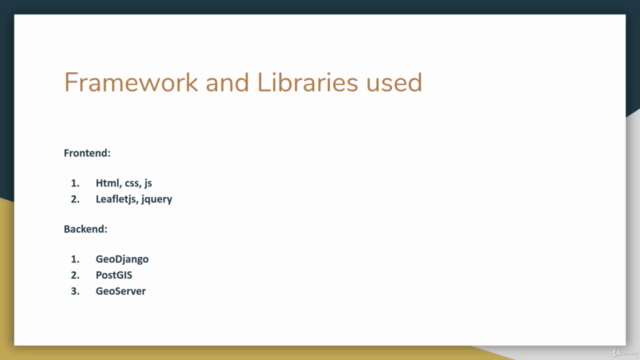
📌 LeafletJS: Discover why Leaflet is the most popular open-source JavaScript library for creating interactive maps, perfect for developers looking to implement responsive and lightweight mapping solutions.
🚀 GeoDjango: Dive into the world of Django, a high-level Python Web framework that's both powerful and flexible. With GeoDjango, you'll learn how to incorporate geographic features into your applications seamlessly.
🌿 PostGIS: Get familiar with PostGIS, which extends PostgreSQL, a robust open-source database system, with geospatial capabilities. It adheres to the Open Geospatial Consortium (OGC) standards and is the backend engine that powers your data storage and querying.
🌐 GeoServer: Learn how GeoServer, an Open Source Server for Spatial Data, can serve various spatial data formats over the web using OGC standards. You'll understand how to publish geographic data and create a variety of map visualizations.
Course Breakdown:
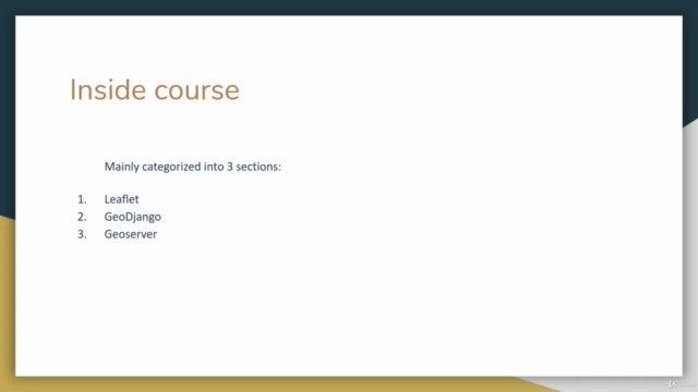
Module 1: Getting Started with LeafletJS
- Setting up your development environment
- Your first interactive map with LeafletJS
- Adding layers, markers, and polygons
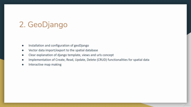
Module 2: GeoDjango - Building Spatial Web Applications
- Integrating spatial capabilities into Django models
- Handling geospatial queries and operations
- Utilizing Django's ORM for spatial data management
Module 3: PostGIS Essentials
- Setting up a PostGIS-enabled database
- Performing spatial queries with PostGIS
- Storing, retrieving, and analyzing geographic information
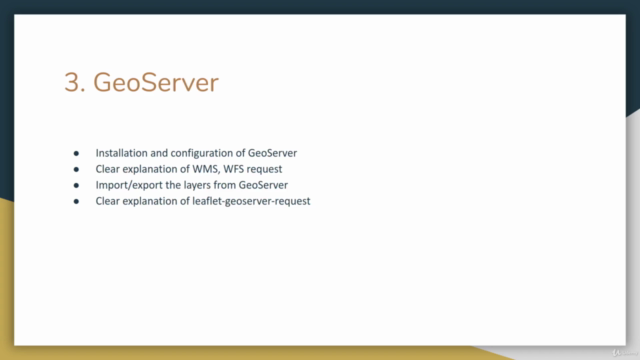
Module 4: Serving Spatial Data with GeoServer
- Installing and configuring GeoServer
- Publishing data sources as web services (WMS/WFS)
- Creating and managing map layers and styles
Key Features:
- Practical Focus: Learn by doing, with real-world projects that showcase the technologies in action.
- Open Source Tools: Gain hands-on experience with LeafletJS, GeoDjango, PostGIS, and GeoServer – tools used by professionals around the globe.
- Comprehensive Curriculum: From beginner to advanced levels, this course covers all aspects of open source web GIS programming.
- Expert Guidance: Benefit from the expertise of Tek Bahadur Kshetri, a seasoned professional in the field of geospatial technologies.
Whether you're a developer looking to expand your skillset or a GIS enthusiast eager to dive into web development, this course will equip you with the knowledge and skills needed to create interactive and efficient web maps. 🗺️✨
Join us on this exciting adventure to bring the power of geospatial data to the digital map! Enroll now and let's unlock the potential of Open Source Web GIS together!
Course Gallery


Loading charts...