Introduction to Maps in Folium and Python

Why take this course?
🌐 Introduction to Maps in Folium and Python Course
🚀 Course Headline: Building Web Map Applications Like a Pro!
📑 About the Course:
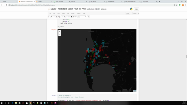
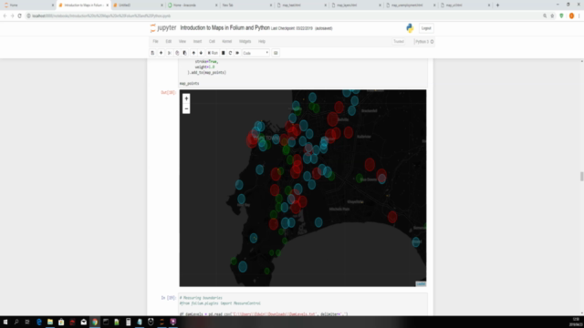
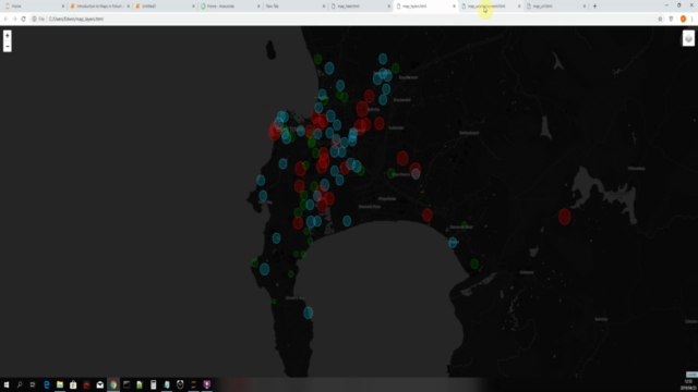
Welcome to the Introduction to Maps in Folium and Python Course! In this comprehensive guide, we will be diving into the powerful capabilities of the folium library, a python mapping tool that simplifies the process of creating interactive maps with just a few lines of code. 🌍➡️🧑💻
Why Take This Course?
- Versatility: Folium allows you to create all sorts of maps, from simple static maps to complex, dynamic web applications.
- Ease of Use: With minimal effort and code, you can visualize spatial data in a way that is both informative and visually appealing.
- Integration with Python: Leverage the power of Python to manipulate data before plotting it on a map.
- Practical Skills: This course will equip you with the knowledge to build maps for various use cases, from geographic analysis to business intelligence.
What You Will Learn:
- Data Preparation: We'll start with some basics of preprocessing data using pandas to ensure your map data is accurate and ready for visualization. 📊
- Folium Objects Mastery: Get to know the core objects of Folium, including Markers, Points, Measure Controls, Tiles, Web Map Tile Services, Layers, and more.
- Map Customization: Learn how to customize your maps with various options, from styling to interactivity, making your maps stand out.
- Advanced Mapping Techniques: Dive deeper into advanced mapping features like heatmaps, clustering, and route planning. 🚫(no coding wizard required!)
What You Need:
- Python 3: Installed on your system (we'll be using Python 3.6 or newer).
- Anaconda: To manage your environment and libraries hassle-free.
- Internet Connection: For downloading datasets, libraries, and sharing your final creations.
- Operating System Compatibility: Any OS that can run a Jupyter Notebook will do (this course was developed on Windows 10).
Course Requirements:
- No complex installations or configurations needed. Everything you need for this course is available in a single, easy-to-set-up Jupyter Notebook environment.
Who Is This Course For? This course is designed to cater to learners of all levels, from beginners who are just starting out with Python and mapping, to seasoned professionals looking to expand their geospatial toolkit. 🎓🧠
Course Highlights:
- Hands-On Learning: Build your own maps with real-world data and use cases.
- No Prior Experience Required: If you can code in Python, you're ready to start this course.
- Share Your Maps: Learn how to publish and share your maps on the web for stakeholders or a broader audience.
By the end of this course, you will be equipped with:
- A solid understanding of how to create and customize web maps using Folium in Python.
- The ability to analyze geographic data and present it effectively through interactive web maps.
- A portfolio of map projects that demonstrate your skills to potential employers or clients.
Join us on this journey to become a pro at creating web maps with Folium and Python! 🌟 Let's turn your data into stories on the map, ready to be told and shared with the world! Enroll now and embark on this exciting learning adventure.
Course Gallery


Loading charts...