Introduction to ArcGIS Pro

Why take this course?
🌟 Introduction to ArcGIS Pro: Your Gateway to Mastering GIS 🌟
Are you ready to embark on an exciting journey into the world of Geographic Information Systems (GIS) and master the powerful ArcGIS Pro software? If you're a beginner eager to unlock the secrets of GIS and spatial analysis, this course is your ideal starting point!
Course Description:
This comprehensive online course is designed to introduce you to the fundamental concepts of GIS and the user-friendly ArcGIS Pro software. You will engage in hands-on learning as you navigate through the ribbon, panes, and tools that are essential for mapmakers and spatial analysts. Through a unique consultative approach, you'll take on a real-world project where you'll be tasked to analyze data and present your findings using compelling maps.
What You Will Learn:
📚 Table of Contents:
- Gathering and Organizing Data: Learn how to efficiently manage and organize the datasets that are crucial for your analysis.
- The Project Window: Get familiar with the ArcGIS Pro interface, including the project window which serves as the hub for all your work.
- Map Projections: Understand map projections and coordinate systems to ensure your maps accurately represent the geographic space.
- Queries and Exploring Data: Master the art of querying data and exploring its attributes to uncover valuable insights.
- Geocoding: Discover how to convert addresses into geographic coordinates for mapping purposes.
- Join and Relate: Learn to join different datasets based on spatial, attributional, or logical relationships.
- Geodatabase: Understand the principles of geodatabases and how they can help manage and analyze complex spatial data.
- Editing and Creating Features: Gain skills in editing existing features and creating new ones within the ArcGIS Pro environment.
- Geoprocessing Tools: Explore the extensive toolset available in ArcGIS Pro to automate geographic processes.
- Designing a Map: Engage in an exercise to design your own map, applying all the skills you've learned.
Real-World Analysis Project:
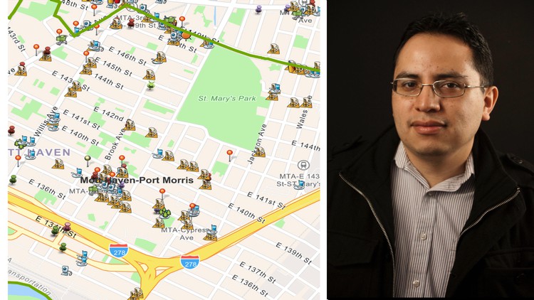
To cap off your learning experience, you will be taking on a significant project from the Institute: designing a detailed map of the Food Environment in Bronx Community Board 1. This project will require you to analyze demographic data, assess proximity to public transportation, and determine the concentration of food locations relative to business corridors.
By completing this course, you'll not only have a solid understanding of ArcGIS Pro but also practical experience in spatial analysis that will set you apart as a GIS professional. 📊✨
Enroll now and take your first step towards becoming a GIS expert with ArcGIS Pro! 🚀
Loading charts...