Aprende a manejar el Geovisor de la IDESC
Why take this course?
🌟 Course Title: Aprende a manejar el Geovisor de la IDESC 🌟
Course Headline: Descubre el Mundo de la Información Geográfica con Confianza! 🌍
Unlock the Power of Geographic Information with the IDESC Geovisor!
🚀 Introduction: The Innovation and Development Center of Santiago de Cali (IDESC) is proud to introduce our latest online course designed to empower you with the skills and knowledge to navigate the world of Geographic Information effectively. Whether you're a public servant, a private sector professional, or simply someone interested in leveraging geospatial data, this course is tailored for you!
🔥 Course Overview:
- Objective: Learn the fundamental aspects of managing and utilizing the Geovisor tool provided by IDESC.
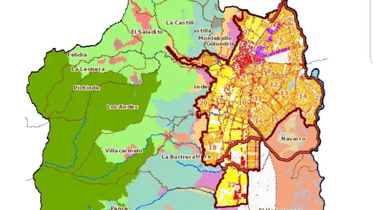
- Skills Acquired: Gain practical experience with over 300 layers/coverages of geographic information, including search functionalities, data selection, exporting, printing, and sharing capabilities.
- Who Should Enroll: This course is perfect for professionals in public administration, urban planners, real estate agents, developers, researchers, and students interested in geospatial data management.
📍 Key Features of the Geovisor:
- Search by Attributes: Quickly find what you're looking for using various search criteria.
- Directions and Locations: Get accurate location information and navigation directions.
- Normatividad: Access detailed local regulations and laws.
- Data Exporting & Printing: Easily export or print maps and data as PDFs.
- Collaboration and Sharing: Share your findings and collaborate with peers directly from the Geovisor platform.
🔍 Learning Outcomes: By the end of this course, you will be able to:
- Navigate the Geovisor interface with confidence.
- Perform complex searches and interpret results effectively.
- Utilize geographic data for various applications including mapping, planning, and decision making.
- Extract and manage information according to your needs.
📅 Course Structure: Our course is structured into comprehensive modules that cover all the essential aspects of using the Geovisor:
- Introduction to Geographic Information Systems (GIS)
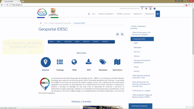
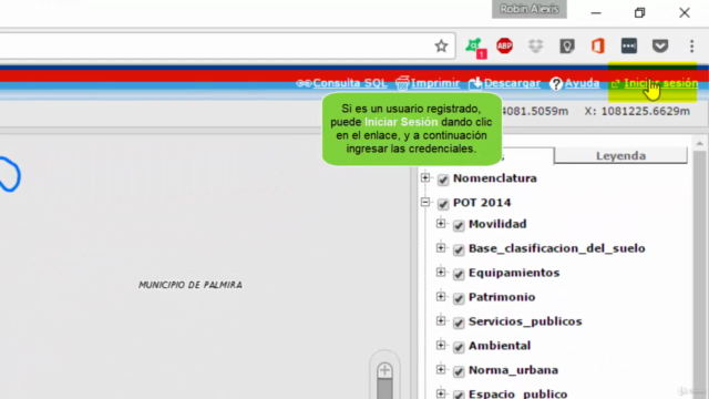
- Understanding the Geovisor Interface
- Data Exploration and Visualization
- Advanced Search Techniques
- Working with Geographic Data
- Exporting, Printing, and Sharing Information
- Real-world Applications and Case Studies
🤝 Why Take This Course?
- Accessible Learning: Learn at your own pace from the comfort of your home or office.
- Practical Application: Apply what you learn in real-time with hands-on practice.
- Networking Opportunities: Engage with peers and professionals in the field of geospatial data management.
- Supportive Environment: Receive guidance and support from experienced instructors throughout your learning journey.
🎓 Enroll Today! Join us on this journey to become a proficient user of the Geovisor tool and take your skills to the next level. Enhance your professional capabilities, contribute to better decision-making, and make an impact in your community. Sign up now and start mastering the Geovisor with IDESC!
🔗 Enroll in "Aprende a manejar el Geovisor de la IDESC" Here and transform the way you interact with geographic information. 🚀
Course Gallery
Loading charts...