Groundwater Potential Zones GIS - Complete Project ArcGIS

Why take this course?
🌫️ Course Title: Groundwater Potential Zones GIS - Complete Project ArcGIS
🚀 Headline: Dive into Mastering GIS for Groundwater Potential Zones, Flood Risk Maps, Drought Analysis, and More!
Unlock the Secrets of Groundwater with GIS:
Are you ready to embark on a comprehensive journey through the world of Geographic Information Systems (GIS)? This course is your golden ticket to mastering GIS for identifying Groundwater Potential Zones, analyzing Flood Risks, detecting Drought Prone Areas, and more! 🧐💧
Course Highlights:
-
From Zero to Hero: This course takes you from the basics of GIS to the final results, guiding you through every step with in-depth tutorials. You'll learn to download and process data, including sourcing from online databases. 🛠️
-
Land Use Map Essential: Before starting, ensure you have a land use map ready. The course will handle the rest, providing you with all the necessary tools and techniques. 🌍
-
Learn Anytime, Anywhere: With this online course, you can execute the entire project from the comfort of your home. No need to step out in search of data or resources! 🏠✨
-
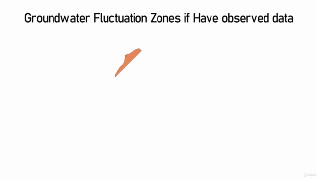
Observed Data Bonus: If you have observation data, you can enhance your project by generating a Groundwater Fluctuation Map. This is an optional yet valuable part of the project. 📊
-
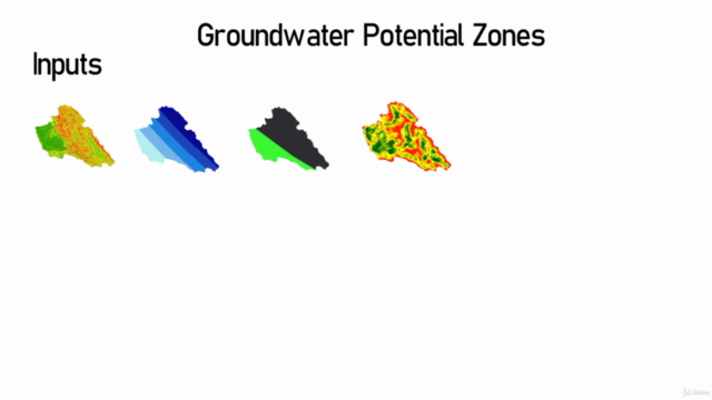
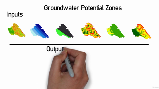
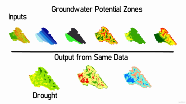
Versatile GIS Applications: The skills you gain here are not limited to groundwater analysis. You'll also learn how to perform Flood Risk and Drought Prone Area Analysis using the same data sets, with just a change in parameters. 🌊🌫️
-
Data Plotting Wizardry: Learn how to plot data effectively, adding another dimension to your GIS expertise. 📈
-
Watershed Delineation Mastery: The course also covers the intricacies of watershed delineation. If your study area isn't a watershed, you can skip this part and focus on boundary demarcation. 🏞️
-
Advanced GIS Skills: Get ready to tackle advanced tasks such as DEM Mosaic, Data Re-Projection, Study Area Cutting, and Soil Map Generation. This course is an expert-level workshop in GIS applications! 🛠️🚀
-
Complete Project from Scratch: This isn't just a course; it's a full-fledged project that takes you through every aspect of GIS analysis for groundwater potential zones. 🎓🔬
Join the Q&A Community:
Have questions? Jump into the Q&A section and get the answers you need to navigate this course like a pro. 🗣️
Course Requirements:
-
Knowledge of basic GIS principles is assumed. ✅
-
A landuse landcover file is necessary before diving into the course content. 📄
Experience it in Full HD:
For an immersive learning experience, we recommend watching this course in Full HD 1080p with headphones. Set your display settings to HD for optimal viewing and sound quality. 🎞️🎧
Who Should Take This Course?
This course is tailored for individuals who have a basic understanding of GIS and are looking to elevate their skills to an expert level. If you're passionate about environmental science, geography, or data analysis, this course will equip you with the tools and knowledge to make a real impact in Groundwater studies and beyond. 🌱📦
Don't miss out on this opportunity to become a GIS expert in groundwater potential zones, flood risk mapping, drought analysis, and more! Enroll now and start your journey towards mastering GIS. 🎯🎉
Course Gallery


Loading charts...