Google tools for GIS Applications

Why take this course?
Course Title: Google Tools for GIS Applications: An Overview of Google Cloud Platform for Geospatial Infrastructure and Analysis 🚀
Headline: Dive into the World of Geospatial Analysis with Google Cloud Platform 🌏🗺️
Course Description:
Unlock the full potential of geospatial data with our comprehensive online course, specifically tailored for professionals in the GIS field. This course serves as a gateway to understanding and utilizing the powerful suite of tools offered by Google Cloud Platform for geospatial infrastructure and analysis. 🛠️📊
What You'll Learn:
-
Getting Started with Google Cloud Platform: Gain hands-on experience with implementing PostGIS in the Google cloud, setting up your first project, and navigating the platform.
-
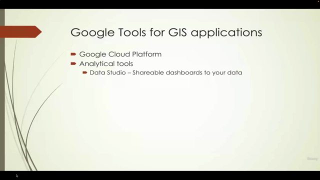
Data Analysis and Visualization: Discover how to import geospatial data into BigQuery and perform lightning-fast analytical queries. Learn to visualize your findings with Data Studio for compelling, data-driven stories.
-
Cloud Storage Solutions: Understand best practices for storing files in the cloud and manage your data efficiently.
-
Google Earth Engine and Remote Sensing: Explore the capabilities of Google Earth Engine for remote sensing analysis and how to leverage this powerful tool for environmental monitoring and land use mapping.
-
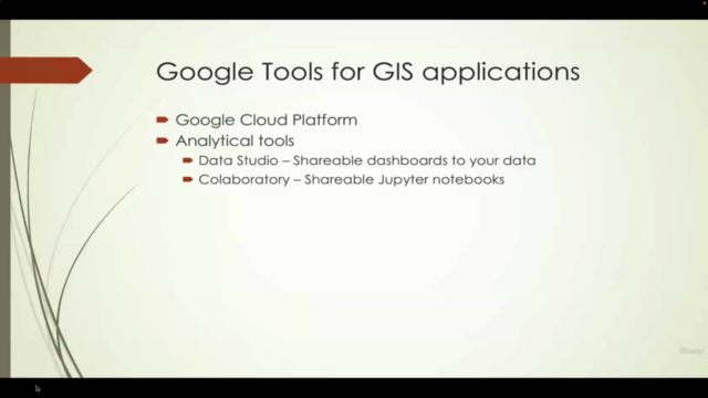
Colaboratory Environment: Get to grips with Colaboratory, a hosted Jupyter notebook environment that allows you to write and execute Python code with ease.
-
Mapping APIs Mastery: Learn to integrate Google's mapping APIs to display web maps, handle geolocation services, perform routing tasks, and obtain elevation data for any point on the globe.
Course Features:
-
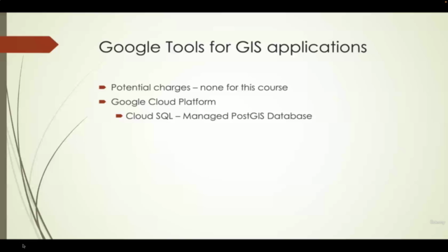
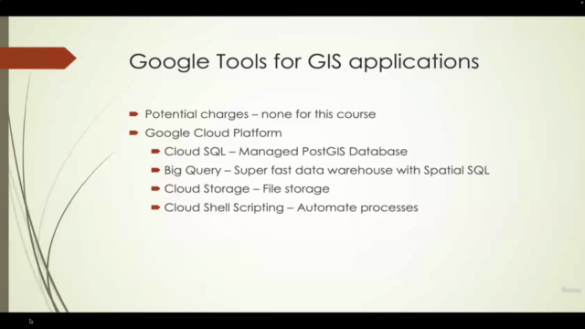
Comprehensive Content: Over 6 hours of content as of April 9, 2022, covering essential tools like Cloud SQL, BigQuery, Data Studio, Cloud Storage, and Cloud Shell automation.
-
Upcoming Sections: Exciting new content on Colaboratory, Earth Engine, and mapping API's to be added in May 2022.
-
Cost-Effective Solutions: Learn how to use Google tools that are either free or come with a generous free tier, making them accessible for businesses of all sizes.
Why Take This Course?
-
Expert Instructor: Taught by Michael Miller, an experienced course instructor with a passion for GIS and geospatial analysis.
-
Practical Application: Focus on the practical application of Google tools in real-world geospatial scenarios.
-
Invaluable Resources: Get access to resources that are not only extensive but also designed to be worth the investment even before all components are fully integrated.
-
Empower Your Career: Equip yourself with the skills to harness the power of cloud computing in your geospatial projects and stand out in your field.
Enroll Now! Don't miss this opportunity to expand your skillset with cutting-edge technology. Sign up today and embark on a journey to become a proficient user of Google tools for GIS applications! 🌟✨
Key Takeaways:
-
Comprehensive Overview: A broad introduction to Google Cloud Platform's geospatial capabilities.
-
Hands-On Learning: Practical exercises and real-world examples to solidify your understanding.
-
Cost Management: Learn how to work within the generous free tiers and pricing structures of Google tools.
-
Innovative Techniques: Discover new ways to analyze, visualize, and manage geospatial data.
-
Future-Proof Skills: Gain skills that will remain valuable as you grow in your career.
Join us on this exciting learning journey and elevate your geospatial expertise with Google Cloud Platform! 🌍✨
Course Outline:
-
Introduction to Google Cloud for GIS 📊
- Overview of Google Cloud Platform
- Setting up your first project in the cloud
- Introduction to PostGIS and how to implement it in Google Cloud
-
Data Analysis with BigQuery 🔍
- Importing geospatial data
- Writing analytical queries
- Interpreting results for actionable insights
-
Visualization with Data Studio 🎨
- Creating interactive dashboards
- Sharing visualizations with stakeholders
- Best practices for data storytelling
-
Cloud Storage Solutions 🗃️
- Storing and managing files in the cloud
- Understanding Google Cloud Storage
- Efficient data handling techniques
-
Remote Sensing with Google Earth Engine 🛰️
- Introduction to Earth Engine's capabilities
- Conducting remote sensing analysis
- Mapping environmental changes and land use patterns
-
Colaboratory for Data Analysis 🧾
- Setting up Colaboratory
- Writing and executing Python code in Jupyter notebooks
- Collaborating with peers on data projects
-
Mapping APIs: Integration and Application 🌍
- Using Google Maps API for web maps
- Geolocation services
- Route planning and elevation data queries
-
Pricing and Cost Management 💰
- Understanding the pricing structure of Google tools
- How to stay within budget while using premium features
- Leveraging free tiers for small businesses and projects
Ready to get started? Enroll now and join a community of GIS professionals who are expanding their skills with the power of Google Cloud Platform! 🌟
Course Gallery


Loading charts...