Google Earth Pro - Application to Engineering

Why take this course?
🌏 Master Google Earth Pro for Engineering Innovation!
🚀 Course Title: Google Earth Pro - Application to Engineering (Highway, Water & Structural)
🌍 Headline: Unlock the full potential of Google Earth Pro in your Engineering projects! Dive into Highway, Water and Structural Engineering with cutting-edge precision.
Course Description:
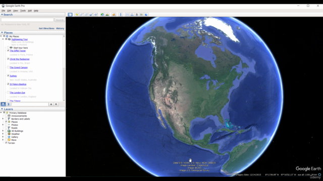
Google Earth Pro is an indispensable tool for visualizing our planet's geographical data. From climate insights to revisiting travel routes, its capabilities extend far beyond mere exploration. In this comprehensive course, you will not only master the basics but also explore the advanced functionalities of Google Earth Pro tailored specifically for Engineering applications.
📍 Key Focus Areas:
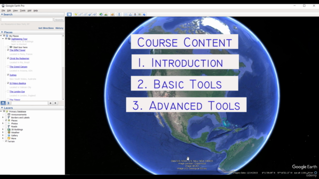
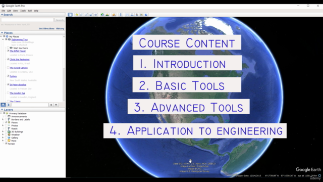
- Introduction: Get acquainted with the Google Earth Pro interface and its fundamental functionalities.
- Basic Tools: Learn to navigate, measure distances & areas, and import data sets.
- Advanced Data Extraction: Discover how to extract complex data sets for in-depth analysis.
- Highway Engineering Applications: Utilize Google Earth Pro to define road alignments, perform profile analyses, and survey routes. You'll also learn to convert geospatial coordinates and integrate data with civil engineering software like Civil3D or CivilCAD.
- Water & Irrigation Engineering Applications: Determine catchment areas, plan preliminary pipe layouts, and export data for hydraulic modeling using EPANET.
- Structural Engineering Applications: Engage in 3D modeling of structures for environmental impact analysis, determine altitudes, and perform grid surveys for estate planning.
Course Contents Breakdown:
Highway Engineering:
- Define road alignment with precision.
- Analyze road profiles to optimize design and safety.
- Extract route survey data for detailed project planning.
- Convert Latitude and Longitude to Easting and Northing for accurate mapping.
- Import Google Earth data into civil engineering software for seamless integration.
- Add site images to enhance visual understanding of the project area.
Water & Irrigation Engineering:
- Determine catchment areas for various structures like bridges, culverts, or dams.
- Preliminarily layout reservoirs, pipe junctions, and piping networks.
- Export base files to EPANET for advanced hydraulic analysis.
Structural Engineering:
- Model proposed structures in 3D on Google Earth Pro to assess environmental impact.
- Determine site altitude and closest distance to sea level, critical for wind analysis and other related studies.
- Conduct grid surveys for estate modeling, ensuring a comprehensive understanding of the site context.
Why Take This Course?
This course is designed to empower you with the skills needed to apply Google Earth Pro effectively in your Engineering projects. Whether you're a professional engineer or an academic, these tools will enhance your ability to analyze complex spatial data and visualize real-world engineering problems.
🎓 Who Should Take This Course?
- Civil Engineers
- Structural Engineers
- Urban Planners
- GIS Specialists
- Environmental Scientists
- Students in related fields
Join us on this journey to master Google Earth Pro and elevate your Engineering projects to new heights! 🚀📡🔧
Course Gallery


Loading charts...