Google Earth - from beginner to advanced uses - AulaGEO

Why take this course?
🌏 Google Earth - from Beginner to Advanced Uses
Unlock the Full Potential of Google Earth in Geography, Engineering, and Cadastre Applications!
Course Overview:
Embark on a comprehensive journey through the virtual landscapes with AulaGEO Academy's exclusive course on Google Earth. This platform is not just a window to the world; it's a versatile tool that can be leveraged for education, research, and professional applications across various fields such as geography, engineering, and cadastre. Whether you're a social science professional, a journalist, or an educator, this course will empower you with the skills to navigate, analyze, and utilize Google Earth like a seasoned explorer.
What You'll Learn:
- Basic Navigation Techniques: Master the art of navigating around our planet, from zooming in on distant lands to exploring your own backyard with precision.
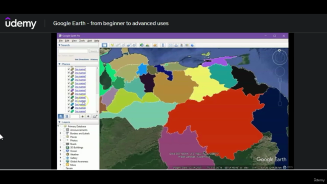
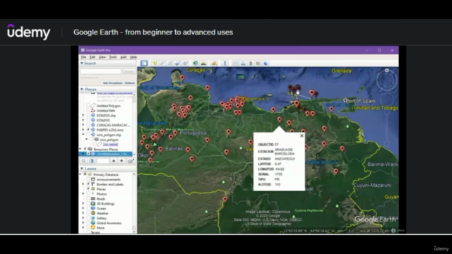
- Advanced Features: Dive into the depths of Google Earth's advanced tools, including importing coordinates from Excel, working with satellite images, and georeferencing.
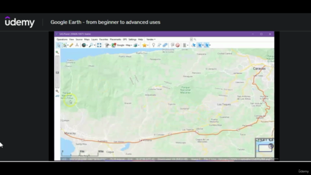
- Data Import & Interaction: Learn how to integrate data from various sources such as ArcGIS, AutoCAD, and cadastral records directly into Google Earth.
- Geographic Information Systems (GIS): Explore the intersection between Google Earth and GIS, understanding how to use geospatial data for more effective analysis.
- Elevation & Cadastral Data: Add elevation data to your maps and import cadastral information, providing a detailed layering to your visualizations.
Why Take This Course?
- Enhanced Teaching Tools: Discover new methods to engage students with interactive maps and visual storytelling.
- Cutting-Edge Applications: Stay ahead of the curve by utilizing advanced features that can give you a competitive edge in your field.
- Real-World Skills: Acquire practical skills applicable across various industries, from real estate to environmental studies.
- Resource Access: Get your hands on the actual data and files used throughout the course for immediate application and understanding.
Course Structure:
The course is divided into two main levels:
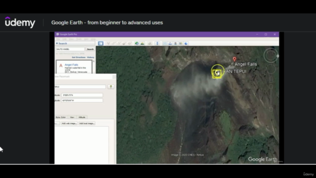
- Beginner Level: Learn the fundamentals of using Google Earth, from basic navigation to creating placemarks and tours.
- Advanced Level: Explore complex interactions with Google Earth, including importing data, georeferencing, and utilizing GIS and cadastre information.
Course Highlights:
- Interactive Learning: Engage with a mix of video tutorials, practical exercises, and hands-on projects.
- Real-World Examples: See how Google Earth is used in various sectors like urban planning, environmental management, and historical research.
- Community Engagement: Join a network of professionals from around the globe who share your passion for geography and mapping.
Who This Course Is For:
- Educators and trainers seeking innovative teaching methods.
- Professionals in geography, engineering, urban planning, and cadastre.
- Enthusiasts of technology and geographic information systems.
- Anyone interested in exploring the world's geography with a powerful tool.
Ready to take your exploration skills to new heights? 🌟 Join us at AulaGEO Academy and transform how you view the Earth with Google Earth! Enroll now and embark on a learning adventure that will expand your horizons and elevate your expertise. 🌍🔍
Course Gallery


Loading charts...