Geospatial Data Science with Python: GeoPandas
Why take this course?
🌐 Master Geospatial Data Science with Python and GeoPandas 🚀
Course Instructor: Michael Miller
Course Title: Vector-Based Geospatial Analysis
Headline: Unlock the Power of Spatial Data with Python!
Course Description:
Are you ready to dive into the world of Geospatial Data Science where data meets location? In this comprehensive online course, we'll explore the cutting-edge tools and techniques that are transforming the geospatial sector. With a focus on Python's powerful libraries like Jupyter Notebooks and GeoPandas, you'll learn to perform vector-based geospatial analysis that is both reproducible and transparent.
Why Choose This Course?
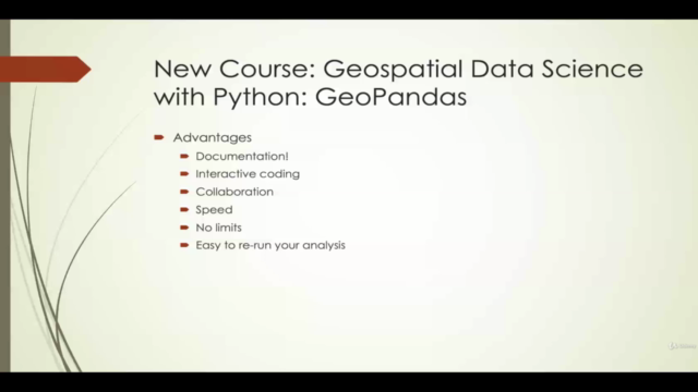
- Reproducibility: Ensure your geospatial analysis can be repeated exactly, ensuring your results are reliable and trustworthy.
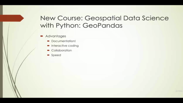
- Documentation: Keep a detailed record of each step in your analysis process within Jupyter Notebooks for easy sharing and collaboration.
- Flexibility and Performance: Break free from the constraints of outdated desktop GIS software with superior performance capabilities.
- Sharing Capabilities: Make your analysis accessible to peers, supervisors, or any stakeholder, enabling them to understand and follow your methodology without any geospatial expertise.
- Practical Application: Whether for research, legal defense, or simply for sharing insights, this course equips you with the skills to explain your data in a clear and concise manner.
Course Highlights:
- 🧭 Introduction to Geospatial Data Science: Get acquainted with the fundamentals of geospatial analysis, including key concepts and terminologies.
- 📊 Python for Geospatial Analysis: Master Python as a tool for handling and analyzing spatial data with ease.
- 🌍 GeoPandas Essentials: Discover how to manipulate and analyze vector data using the robust GeoPandas library.
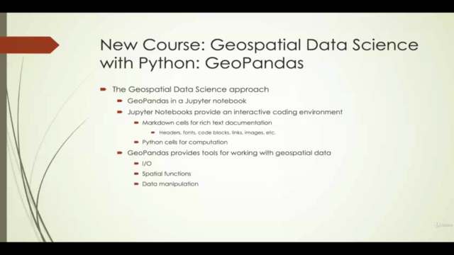
- 🛠️ Jupyter Notebooks: Learn to create, document, and share your geospatial analysis workflows in an interactive, reproducible format.
- 🔍 Advanced Spatial Analysis Techniques: Dive into spatial queries, statistical analysis, and visualization of complex datasets.
- 🤝 Real-World Applications: Apply your skills to real-world scenarios, gaining valuable experience in interpreting and presenting geospatial data.
What You Will Learn:
- How to import and manage spatial data with GeoPandas.
- Techniques for performing spatial operations such as buffering, clipping, and overlay analysis.
- Methods for analyzing spatial patterns and relationships within your datasets.
- How to visualize geospatial data effectively using Python libraries like Matplotlib and Plotly.
- Best practices for documenting and sharing your geospatial analysis with others.
Who This Course Is For:
- Environmental scientists, urban planners, policy analysts, and anyone interested in leveraging geospatial data for their work.
- Python developers looking to expand their skill set into the realm of data science.
- Researchers and academics who need to perform spatial analysis as part of their studies or projects.
Enroll now and transform your approach to spatial data analysis with Geospatial Data Science with Python and GeoPandas! 🌟
By the end of this course, you'll not only be proficient in using Python for geospatial data analysis but also understand the importance of integrating these skills into your professional toolkit. Join us on this journey to become a master of spatial data science! 🚀📊🌍
Course Gallery
Loading charts...