Geospatial Data Science: Statistics and Machine Learning I

Why take this course?
Geospatial Data Science: Statistics and Machine Learning
Unlock the Power of Spatial Data with Python
🚀 Course Headline: Master vector data analysis in Python using GeoPandas, statsmodels, Scikit-learn, and PySAL to transform your geospatial data science skills!
Course Instructor: Michael Miller 🧑🏫
A seasoned expert in the field of geospatial data analysis with a passion for sharing his knowledge through practical, project-based learning.
What You'll Learn:
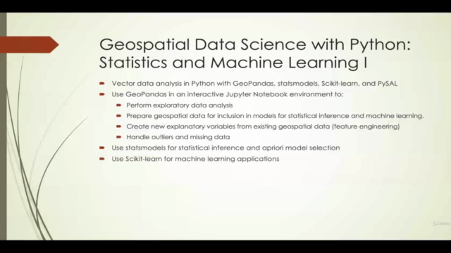
An Overview of the Course: In this comprehensive course, we will dive into the world of geospatial data science using Python, focusing on vector data analysis with open-source packages like GeoPandas, statsmodels, Scikit-learn, and PySAL. You'll learn to harness these tools for exploratory data analysis, statistical inference, and machine learning model development.
Key Topics Covered:
- 📊 Geospatial Data Handling with GeoPandas: Learn how to handle geospatial datasets, perform feature engineering, manage outliers, and missing data, and conduct basic plotting for data visualization.
- 🔎 Statistical Inference with statsmodels: Discover the nuances of linear regression and its explanatory power, as well as how to interpret results from a geospatial perspective.
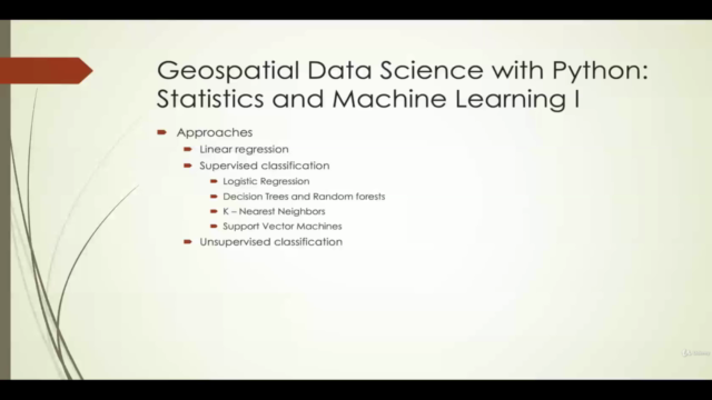
- 📚 Machine Learning Applications with Scikit-learn: Get hands-on experience with a variety of machine learning algorithms, including decision trees, random forests, K-NN classification, and more!
- 🌱 Real-World Biodiversity Data Project: Work on a compelling project that involves real geospatial data from Mexico to understand the factors influencing biodiversity.
- 🧮 Spatial Data Considerations: Explore spatial joins, map plotting, and tackle issues like spatial autocorrelation.
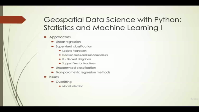
- 🔑 Model Selection and Evaluation: Understand model selection techniques, maximum likelihood estimation, and the differences between statistical inference and machine learning.
- 🌍 Geospatial Data Science for Professionals: The course is tailored for geospatial professionals, providing conceptual understanding without diving into heavy statistics theory.
Course Structure:
- Interactive Jupyter Notebooks will guide you through each step of the analysis process.
- A blend of statistical inference and machine learning approaches to solve real-world geospatial problems.
- Emphasis on spatial data analysis with a focus on practical application.
Why Take This Course?
- Hands-On Learning: Engage with real datasets and projects that reflect the challenges of geospatial data science.
- Expert Instruction: Learn from an instructor with extensive experience in geospatial analysis.
- Skill Development: Build a strong foundation in both statistical methods and machine learning as they relate to spatial data.
- Flexible & Accessible: Study at your own pace, with the freedom to review material as often as you need.
- Community Engagement: Join a community of like-minded learners to share insights and collaborate on projects.
Course Outline:
-
Introduction to Geospatial Data Science
- Understanding geospatial data and its importance in decision-making processes.
-
Getting Started with Python for Geospatial Analysis
- Setting up your environment with Python, GeoPandas, statsmodels, Scikit-learn, and PySAL.
-
Exploratory Data Analysis (EDA)
- Techniques for data cleaning and preparation for geospatial datasets.
-
Statistical Modeling with Python
- Linear regression, spatial considerations, and model evaluation.
-
Machine Learning Algorithms for Geospatial Data
- A comprehensive walkthrough of decision trees, random forests, K-NN classification, PCA, and K-means clustering.
-
Project Work: Biodiversity in Mexico
- Applying the learned concepts to a real-world dataset related to biodiversity.
-
Advanced Topics and Best Practices
- Deep dive into handling spatial autocorrelation, advanced plotting, and more!
Enroll now and transform your data analysis skills with the power of geospatial data science! 🌍🔍🚀
Course Gallery


Loading charts...