Geospatial data analysis with python

Why take this course?
🌱 Course Title: Geospatial Data Analysis with Python
🚀 Headline: Master Raster/Vector Dataset Management & Spatial Analysis with Python! 🌍💻
Course Description
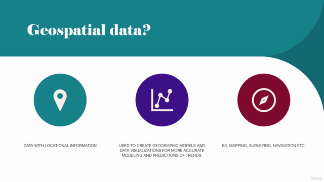
Embark on a journey to unlock the potential of spatial data analysis using Python, the versatile programming language that's taking the world of Geographic Information Systems (GIS) by storm. In this comprehensive course, you will dive into the fascinating world of geospatial data, learning how to read, write, and visualize datasets from various sources and formats, including shapefiles, geojson, geo packages, and GeoTIFFs.
📊 Key Takeaways:
- Gain a solid foundation in the geospatial domain with practical applications.
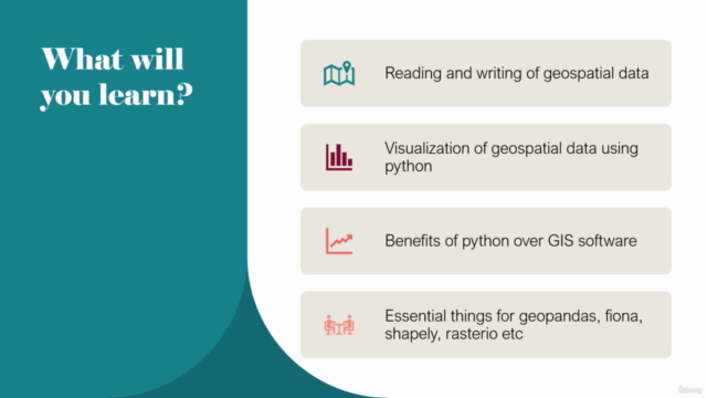
- Master the installation and utilization of essential geospatial libraries like GDAL, GeoPandas, Rasterio, Fiona, Shapely, Pandas, and Numpy.
- Learn to read and write spatial data from different sources and formats effortlessly.
- Acquire skills in visualizing geospatial data using Python.
- Understand and work with attribute tables and geometries.
- Perform resampling, reprojection, and reclassification of satellite imagery.
- Calculate NDVI (Normalized Difference Vegetation Index) using near-infrared (NIR) and red (RED) bands.
Course Topics
Here's a glimpse of what you'll cover in this course:
✅ Installation of Geospatial Libraries
- Setting up the environment with GDAL, GeoPandas, Rasterio, Fiona, Shapely, Pandas, and Numpy.
✅ Data Handling
- Efficiently reading and writing spatial data from various sources/formats.
✅ Geospatial Visualization
- Visualizing geospatial data using Python for better insights.
✅ Attribute Table & Geometries
- Working with attribute tables and learning how to manipulate geometries.
✅ Satellite Data Processing
- Resampling, reprojection, and reclassification techniques for satellite imagery.
✅ Raster Operations & NDVI Calculation
- Performing mathematical operations with raster datasets and calculating the NDVI for vegetation analysis.
Deep Dives into Main Tools
🔍 GeoPandas: The go-to Python package for reading, writing, and analyzing vector datasets, leveraging the capabilities of pandas and integrating with spatial databases.
🌱 Rasterio: A fast, simple, and efficient library for working with geospatial raster data, powered by GDAL and Numpy.
📏 Shapely: The foundational Python package for dealing with geometric objects in two or three dimensions.
🗺️ Fiona: A lightweight interface to the Geospatial Data Abstraction Library (GDAL) focused on reading/writing geographic data files.
Learning Outcomes
This course is designed to empower you with the skills to perform spatial analysis independently, without relying on specialized GIS software like ArcGIS or QGIS. Through hands-on examples and a step-by-step approach, you will:
- Confidently manage geospatial datasets in Python.
- Automate data processing tasks related to spatial analysis.
- Apply your new knowledge directly to your own projects for real-world problem-solving.
By completing this course, you'll not only have a deeper understanding of spatial data but also the ability to automate complex GIS workflows using Python. Get ready to unlock the secrets held within geospatial data and transform them into actionable insights! 📊🚀
Course Gallery


Loading charts...