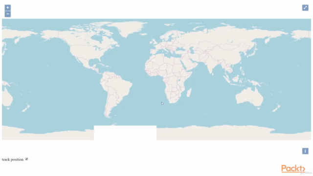
GeoServer: Step-By-Step Tutorial

Why take this course?
🌐 Master GeoServer with Step-By-Step Tutorial: Elevate Your GIS Skills to Production Level!
🚀 Course Title: GeoServer: Step-By-Step Tutorial
🧭 Course Description:
Get ready to embark on a comprehensive journey through the world of open-source geospatial solutions with our "GeoServer: Step-By-Step Tutorial" course. This isn't just any ordinary tutorial—it's a fast-paced guide designed for both beginners and intermediate users looking to leverage GeoServer for their web application needs.
📚 What You'll Learn:
-
✅ GeoServer Layers: Discover how to create, manage, and add informative layers to your maps using a variety of styles that make your data pop!
-
🛠️ Spatial Databases with PostGIS: Deploy and integrate a powerful spatial database like PostGIS alongside GeoServer, ensuring a robust backend for your applications.
-
⚡ Speed Optimization Techniques: Learn advanced techniques to enhance the performance of your web map application, keeping it swift and responsive.
-
🔒 Security Measures: Implement authentication mechanisms on both the front end and back end to secure your sensitive geospatial data and ensure compliance with access control requirements.
-
🌍 Production Readiness: Prepare your web application for production, understanding the nuances of hosting GeoServer, OpenLayers, and your data effectively.
Why Choose This Course?
-
Hands-On Learning: Engage with real-world examples that allow you to apply what you learn immediately.
-
Step-By-Step Approach: Each topic is broken down into clear, digestible steps, making complex concepts easy to understand and implement.
-
Expert Guidance: Learn from experienced instructors who have walked the path of GIS professionals and can guide you through every step.
-
Up-to-Date Content: Stay ahead of the curve with tutorials that are updated to reflect the latest in GeoServer technology.
-
Community Support: Join a community of peers, share insights, and collaborate on projects as you progress through your learning journey.
Who Is This Course For?
This course is ideal for:
-
GIS professionals looking to expand their toolkit with GeoServer.
-
Web developers aiming to incorporate geospatial data into their applications.
-
Anyone interested in open-source solutions for handling and visualizing geographic information.
🎓 Key Takeaways:
-
A solid understanding of deploying and managing GeoServer.
-
Knowledge of integrating PostGIS for spatial database operations.
-
Techniques to optimize and secure your web map application.
-
Preparation for transitioning from development to production with confidence.
Enroll in "GeoServer: Step-By-Step Tutorial" today and transform your geospatial projects into high-performance, user-friendly, and secure applications! 🌟
Course Gallery


Loading charts...