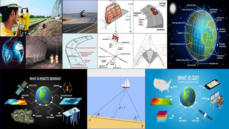
Geomatics & Advance Surveying

Why take this course?
🌟 Course Title: Geomatics & Advanced Surveying: Mastering the Tools for Precision Mapping and Analysis
Course Headline: Dive into the World of Precision: From Curve Setting to GIS Mastery! 🌍➡️🔍
Introduction to Geomatics & Advanced Surveying
Unlock the secrets of modern surveying with our comprehensive online course. Designed for professionals and students alike, this course will take you through an in-depth exploration of geomatics, from classic techniques like Curve Setting to cutting-edge technologies such as GPS and GIS. Whether you're mapping roads or the ocean floor, analyzing satellite imagery, or managing environmental data, this course provides the knowledge and skills necessary to excel in any surveying challenge.
Course Overview:
This course is structured into seven units, each focusing on a critical aspect of geomatics and advanced surveying techniques. Here's what you can expect to learn:
📏 Unit I: Curves in Surveying
- Classification and setting out curves
- Understanding the degree of curve and elements of circular and compound curves
- Mastering both theoretical and practical methods for setting out simple and complex curves using the latest instruments.
🚀 Unit II: Triangulation Systems
- Grasping the principles of triangulation
- Learning about different triangulation systems and their applications
- Conducting field work, reconnaissance, and inter-visibility surveys with precision.
🌊 Unit III: Hydrographic & Underground Surveying
- The importance of hydrographic surveying for maritime safety and environmental studies
- Techniques for shoreline surveys, soundings, and dealing with the three-point problem in hydrographic surveying.
- Correlating surface and underground surveys with methods like the Weisbach triangle, transferring levels, and alignments.
📸 Unit IV: Photogrammetry & Remote Sensing
- Basic concepts of photogrammetry and remote sensing
- Understanding aerial photography and its applications
- Planning for flight operations and interpreting various types of photographs.
✈️🛰️ Unit V: GPS & GIS Fundamentals
- A deep dive into the Global Positioning System (GPS) and its advantages over traditional methods.
- Learning about GPS receivers, antennas, and their applications in various fields.
- Exploring the Geographical Information System (GIS), from data structure to spatial analysis, including hands-on experience with QGIS software.
🔍 Unit VI: GIS Applications
- Applying GIS in geological investigations, water resources management, and environmental studies.
- Understanding the impact of Environmental Impact Assessments (EIAs) and land use planning through spatial data analysis.
🎛️ Unit VII: Tacheometry Techniques
- Exploring stadia methods, including fixed hair, movable hair, and tangential methods for precise distance and level measurements.
- Delving into the theory of analytic lens, Beaman’s stadia arc, and learning about auto reduction tacheometers like the Jeffcot Hammer fennel.
What You Will Learn:
- Curves in Surveying: Understand the various types of curves, their applications, and how to set them out accurately using both traditional and modern methods.
- Triangulation: Master the principles behind triangulation, learn how to plan and execute field surveys with confidence, and gain insight into the inter-visibility and angular measurements essential for accurate mapping.
- Hydrographic & Underground Surveying: Develop skills in surveying bodies of water and subterranean structures, understanding the unique challenges each presents.
- Photogrammetry & Remote Sensing: Learn to leverage aerial imagery and satellite data to gather geographical information for analysis and mapping.
- GPS & GIS Fundamentals: Understand the GPS technology that has revolutionized navigation and surveying, and grasp the power of GIS in managing spatial data for various applications.
By completing this course, you will be well-equipped to tackle any geomatics challenge with confidence and precision. Enroll now and become an expert in advanced surveying techniques! 🎓🌟
Loading charts...