Drone Photogrammetric Image Processing (Beginner to Expert)

Why take this course?
Course Title: Drone Photogrammetric Image Processing (Beginner to Expert)
Course Headline: Advanced Drone/UAV Photogrammetry Image Processing for Geospatial Data Generation with Agisoft Metashape
Unlock the Secrets of UAV Imaging and Master Photogrammetry with Our Premier Course! 🌍✈️📊
Course Description:
Embark on an unparalleled journey into the world of Drone Photogrammetry with our Drone Photogrammetric Image Processing (Beginner to Expert) course. This Advanced UAV/Drone Photogrammetry Image Processing for Geospatial Data Generation program is designed to take you from a novice to an expert in the field of geospatial data generation using Agisoft Metashape, the leading software in photogrammetric processing.
Why Take This Course?
- Comprehensive Curriculum: Gain a solid foundation in UAV/Drone image processing with a curriculum that covers everything from A to Z.
- Practical Application: Learn by doing with real-world sample data provided for hands-on practice alongside each instructional video.
- Expertise Across Domains: Dive into specialized topics such as Ortho, DSM/DTM, Point Cloud, Contour, 3D Mesh generation, and more.
- In-Depth Insights: Explore advanced methodologies including stereo satellite image processing, panorama generation, volume calculation, and thermal & multispectral image processing.
- Cutting-Edge Techniques: Master RTK/PPK pre and post-processing, as well as Network-based Parallel Image Processing for massive image datasets.
- Empower Your Skills: Become proficient in using Agisoft Metashape to its full potential, enabling you to generate precise and accurate GIS data products.
What You Will Learn:
- Fundamentals of UAV/Drone Image Processing: Understand the basics, including planning a flight and capturing high-quality images.
- Pre-Processing Techniques: Learn how to prepare your images for processing to ensure optimal results.
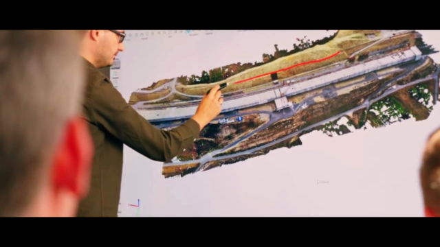
- Post-Processing Mastery: Gain expertise in generating Orthoimages, Digital Surface Models (DSM), Digital Terrain Models (DTM), Point Clouds, and 3D Meshes.
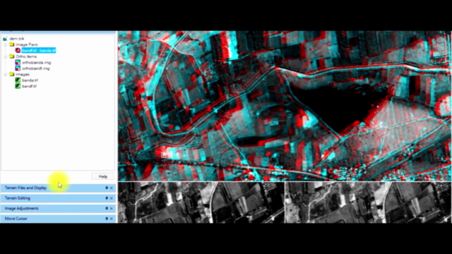
- Advanced Workflows: Discover how to set up file creation for stereo imagery, correct ortho color, and execute RTK/PPK image pre and post-processing.
- Massive Data Handling: Learn how to efficiently process large datasets using Network-based Parallel Image Processing.
- Thermal and Multispectral Analysis: Enhance your understanding of analyzing thermal and multispectral data for various applications.
Who Is This Course For?
This course is ideal for:
- Geospatial Professionals: Expand your skill set with advanced photogrammetry techniques to stay ahead in the industry.
- UAV Operators and Enthusiasts: Transform your aerial imagery into valuable data products.
- Researchers and Academics: Integrate photogrammetric processing into your research projects for more accurate results.
- Surveyors and Cartographers: Leverage UAV technology to enhance your mapping and survey capabilities.
Instructor Profile:
Led by the expert instructor Leo Stalincourse, you will receive guidance from an industry leader with extensive experience in geospatial data generation and photogrammetry. With a passion for teaching and a commitment to sharing his knowledge, Leo will accompany you every step of the way through this course.
Join Us on This Exciting Learning Adventure! 🚀📖
Take the first step towards mastering UAV/Drone image processing for geospatial data generation. Enroll in our comprehensive course today and unlock new possibilities in aerial imagery, photogrammetry, and GIS applications with Agisoft Metashape.
For any queries or doubts, feel free to reach out to me via mail, and I'll be more than happy to assist you. Wishing you a fruitful learning experience and Happy Drone Image Processing! All the best on your journey to becoming an expert in UAV photogrammetry. 🌟🎉
Course Gallery


Loading charts...