COVID-19 Data Science Urban Epidemic Modelling in Python

Why take this course?
🌐 Master Covid-19 Data Science with Python: Urban Epidemic Modelling 🦠
🚀 Course Title: COVID-19 Data Science Urban Epidemic Modelling in Python
🌍 Headline: Dive into Spatial Data Analysis, Modelling, and Visualization of the Coronavirus Epidemic!
Are you fascinated by the intersection of data science, public health, and spatial analysis? Do you want to turn your Python skills into actionable insights for real-world scenarios like the Covid-19 pandemic in urban settings? If yes, then our online course is the perfect fit for you! 🚀
Course Description:
In this comprehensive course, you will embark on a journey to master the art of spatial data analysis and visualization using Python. By focusing on the case of Yerevan city's Covid-19 epidemic spread, you'll learn to manipulate and interpret real urban mobility datasets with cutting-edge Python tools.
- No prior experience? No problem! This course is designed for learners with a basic understanding of Python libraries like numpy and matplotlib. 🛠️
- Learn by Doing: With hands-on activities, you'll apply your skills to real-world data and visualizations, making this experience invaluable for your professional growth as a data scientist. 📊
Course Outline:
-
Introduction to Python GeoPandas: Get comfortable with spatial visualizations within Jupyter Notebooks and understand the fundamentals of geospatial analysis.
-
Understanding Spatial Epidemiological Models: Gain a deep intuition into the mathematical underpinnings of models used in epidemiology to predict disease spread.
-
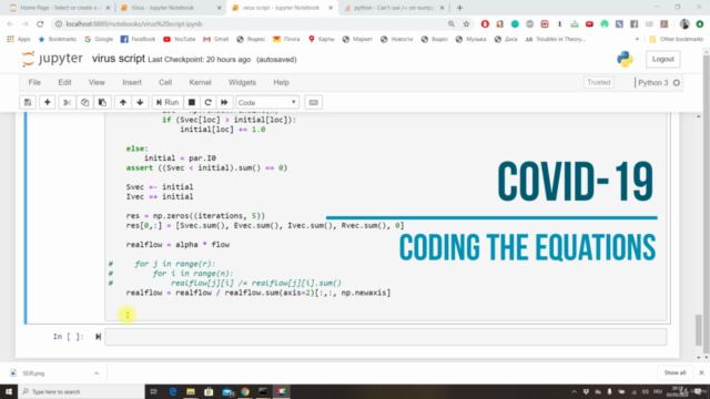
Coding the Spatial Epidemiological Model in Python: Write efficient code for simulating the spread of diseases, leveraging Python and numpy to create your simulation engine.
-
Simulating the Covid-19 Epidemic in a City: Apply the model code to real urban mobility datasets, simulating how Covid-19 might have spread within an urban environment.
-
Covid-19 Urban Spatio-Temporal Visualization: Create compelling animated spatial visualizations that showcase the dynamics of the virus's spread across the city map! 🌆
Why Take This Course?
- Practical Skills: Acquire valuable skills in spatial modelling, data visualization, and spatial data science that can be applied to countless projects beyond this course.
- Real-World Application: Learn by applying your knowledge to a real-world dataset from Yerevan city, providing you with practical experience.
- Expert Guidance: Course instructor Gevorg Yeghikyan will provide support and answers throughout your learning journey. 🧠✨
Enroll Today!
Embark on this enlightening adventure in data science and make a tangible impact on our understanding of disease spread. Whether you're a data enthusiast, a public health official, or someone passionate about making sense of spatial data, this course will equip you with the knowledge and skills to visualize and analyze urban epidemics like never before.
📅 Start Date: [Insert Course Start Date Here]
🎓 Instructor: Gevorg Yeghikyan
🔍 Skill Level: Basic Python programming knowledge required
Don't miss this opportunity to expand your skillset and contribute to the global effort in understanding and combating urban epidemics. Enroll now and let's make a difference together! 🌍➡️💻✨
Course Gallery


Loading charts...