Challenging times with Python and ArcPy for ArcGIS Pro

Why take this course?
🚀 Challenging Times with Python and ArcPy for ArcGIS Pro 🌟
Turning Mapping Requirements from Stakeholders into Automated PDF Maps
Course Headline: Dive into the world of spatial analysis and automation with Python and ArcPy in ArcGIS Pro to transform complex mapping tasks into streamlined, automated workflows that exceed stakeholder expectations.
Course Description:
Have you ever been tasked with a seemingly straightforward mapping project, only to find the requirements evolving and becoming more intricate as you progress? This is a common challenge for GIS professionals. In this course, we'll navigate through such a scenario step by step, using Python and ArcPy within ArcGIS Pro to meet the initial requirements and then adapt to new demands.
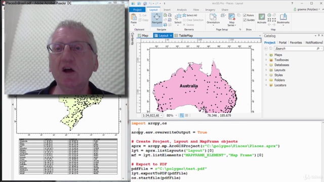
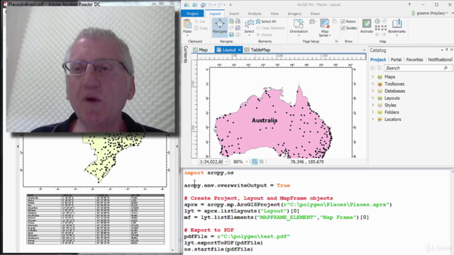
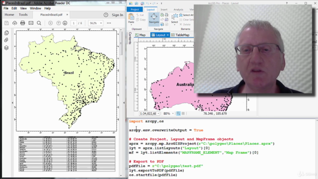
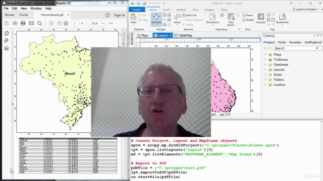
Scenario-Based Learning: We'll start with a simple task—creating a map that meets some basic requirements. You'll have the chance to attempt this before I reveal my solution. As we progress, I'll introduce additional complexities, encouraging you to refine your approach. With each iteration, you'll learn how to enhance your automation, culminating in a final output that matches a detailed multi-page PDF map layout—a project that can be daunting at first glance but manageable with the right skills.
Real-World Application: This course is designed to equip you with practical skills for real-world applications. If the thought of creating such a map fills you with excitement and a bit of trepidation, this is exactly where you should be! 🌍
What You Will Learn:
In this comprehensive course consisting of 26 lectures, tailored for English-speaking learners worldwide, you'll gain hands-on experience with:
-
ArcGIS Pro Project, Map and Layout authoring - Master the fundamentals of creating and managing projects, maps, and layouts in ArcGIS Pro.
-
Layer configuration options - Learn to configure layers to meet specific display requirements.
-
Python string formatting - Manipulate text within your Python scripts to dynamically generate map elements.
-
Using ArcGISProject, Map, Layout, MapFrame objects - Gain proficiency in handling these key components of a map document.
-
Placing a graticule around a MapFrame - Add essential elements like a graticule to enhance your map's utility.
-
Defining queries on Layers - Learn how to select specific datasets based on criteria you define.
-
Using Camera, Extent and Describe objects - Master the manipulation of spatial data and viewpoints within your maps.
-
Tools like Sort, MultipartToSinglepart, Select, GetCount - Utilize these tools to manage and analyze your spatial data effectively.
-
Building a test harness with performance timing - Ensure your script is efficient by measuring its runtime.
-
Using Search, Update and Insert Cursors - Perform data manipulation operations within Python.
-
Using Cursors to work with both attribute and geometry fields - Learn how to interact with the data behind your map features.
-
Writing Python functions and modules - Develop reusable code to solve common GIS tasks.
-
Using Python's time module - Handle temporal data within your scripts.
-
Creating and using Python dictionaries - Store and manage data in a flexible and dynamic way.
-
Cloning Graphics and Text Elements to Add Tables to Layouts - Learn techniques for incorporating tables into your map layouts.
-
Converting Decimal Degrees into Degrees, Minutes and Seconds with cardinal direction - Handle coordinate conversions and enhance map accuracy.
-
Creating polygon feature classes to represent table outlines and shading - Visualize tabular data with spatial elements.
-
Creating point feature classes to represent table text - Link textual information with spatial points.
-
Using attribute driven symbology to display hexadecimal colours - Learn how to symbolize features based on their attributes.
-
Splitting tables across pages while retaining header row - Manage complex layouts with multiple pages.
-
Replacing data sources of feature layers by updating their connection properties - Ensure your map remains current with dynamic data sources.
-
Creating a PDF document object and appending pages into it - Combine your map output with written reports into a single PDF document.
Join me, Graeme Browning, on this journey to master the art of automating complex mapping tasks in ArcGIS Pro with Python and ArcPy. By the end of this course, you'll be able to turn stakeholder requirements into automated, professional-looking PDF maps that tell a story through spatial data. 📊✨
Let's embark on this learning adventure together! Enroll now and transform your GIS skills!
Course Gallery


Loading charts...