Building Web GIS Apps with Java Spring Boot MVC and Leaflet
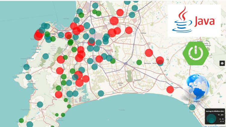
Why take this course?
🌟 Course Title: Building Web GIS Apps with Java Spring Boot MVC and Leaflet
Headline: Dive into the World of Geospatial Web Applications with Java! 🌍➡️💻
Introduction to Your Course Journey:
Welcome to the Building Web GIS Apps with Java Spring Boot MVC and Leaflet course! Embark on a learning adventure where you'll transform raw geospatial data into captivating, functional web applications. This is not just about coding; it's about creating impactful tools that analyze, visualize, and interpret the world around us.
Course Overview:
What You'll Learn:
- Build a Full-stack MVC Style Web Application 🏗️
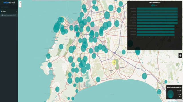
- Process and clean residential water consumption data for spatial analysis 🚿🔍
- Leverage PostgreSQL and PostGIS to create a robust Spatial Database 🛠️📊
- Design interactive Web Maps with Leaflet.js 🗺️🖥️
- Develop REST API Endpoints to facilitate dynamic data interaction 🔗✨
- Utilize Java Spring Boot MVC for server-side logic and performance 🚀
- Integrate libraries like Hibernate-Spatial, commons-csv, and JPA for seamless data operations 🛠️📈
Technologies & Tools:
- Backend: Java Spring Boot MVC, PostgreSQL, PostGIS, Hibernate-Spatial, Commons-CSV, JPA
- Frontend: Thymeleaf, JavaScript, Leaflet.js, Ajax 📦
- Operating System: Windows 10 and Server 2016 💻
Skills You'll Master:
By the end of this course, you will have acquired a wealth of skills that are essential for any geospatial web developer:
- Spatial Database Creation: Learn to set up and manage PostgreSQL with PostGIS.
- Data Visualization: Create engaging charts using Chart.js.
- Web Mapping Expertise: Build responsive, interactive maps with Leaflet.js.
- API Development: Construct REST API endpoints to serve your application's needs.
- JavaScript Programming: Enhance your JavaScript skills for dynamic web interactions.
- Spring Boot Framework Mastery: Build robust web applications using Java Spring Boot MVC.
Course Details & Outcomes:
Through hands-on projects and structured learning, you will not only understand the theory behind geospatial web applications but also apply it to real-world scenarios. By the end of this course, you'll have a fully functional application that showcases your newfound skills. You'll be ready to tackle complex data processing tasks, create beautiful and interactive maps, and develop efficient, scalable Java Spring Boot applications.
Join us on this journey to become a proficient developer in the field of Web GIS with Java Spring Boot MVC and Leaflet. Let's turn the world of data into actionable insights! 🚀🌎
Enroll now and unlock your potential in geospatial web development! 🖥️✨
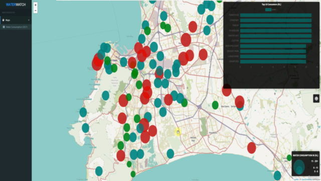
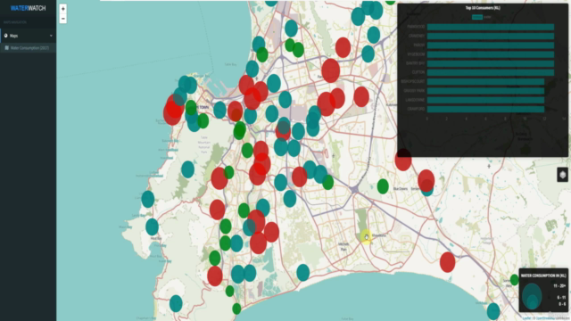
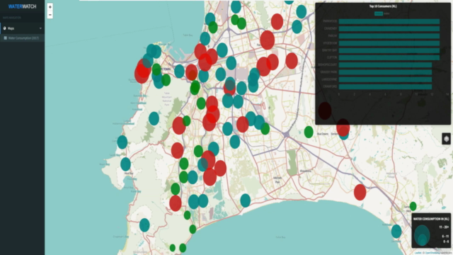
Course Gallery
Loading charts...