Building Web GIS Apps with C# ASP.NET CORE MVC and Leaflet

Why take this course?
🌐 Dive into Geospatial Development with C# & ASP.NET CORE MVC
Course Title: Building Web GIS Apps with C# ASP.NET CORE MVC and Leaflet
Headline: Master the Art of Crafting Functional Geospatial Applications in a C# Environment
Course Description:
Welcome to the Building Web GIS Apps with C# ASP.NET CORE MVC and Leaflet course! This is your gateway to creating powerful web applications that integrate geospatial data, analytics, and user interfaces into a seamless, functional experience.
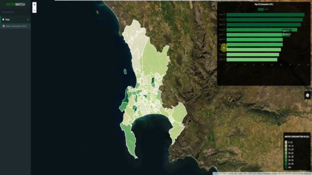
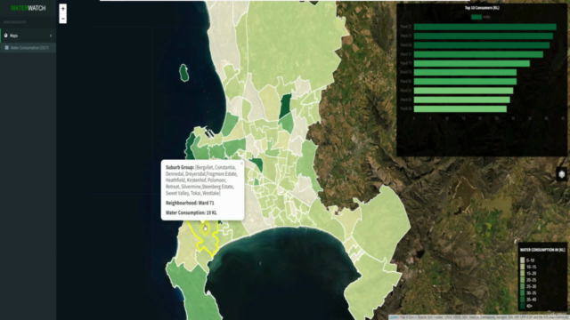
As we embark on this learning journey together, you'll be guided through the process of building a Full-stack MVC style Web Application using the robust .NET Core Framework. The focus here is to transform geospatial analytics into practical applications that can drive real-world decision-making, with suburban water consumption data serving as our case study.
We'll dive deep into data processing techniques, learning how to extract, transform, and load data efficiently into a spatial database. PostgreSQL with PostGIS will be our database of choice, providing a powerful backend capable of handling complex spatial queries. On the front-end, we'll harness the power of Bootstrap for styling, JavaScript for interactivity, Leaflet for mapping, and Ajax for seamless data retrieval.
Throughout the course, you'll gain hands-on experience with a variety of technologies:
- Back-end Framework: Learn to construct robust REST API endpoints using C# and LINQ within the ASP.NET CORE MVC environment.
- Data Manipulation: Get familiar with libraries such as Entity Framework Core, Newtonsoft.Json, and Npgsql for handling data transformations and conversions.
- Development Environment: This course is designed to be compatible with the Windows 10 and Server 2016 operating systems.
By the end of this course, you will have acquired a plethora of skills, including:
- ✅ Building Spatial Databases using PostgreSQL and PostGIS.
- ✅ Creating Engaging Charts with Chart.js.
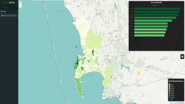
- ✅ Developing Web Maps with Leaflet.js.
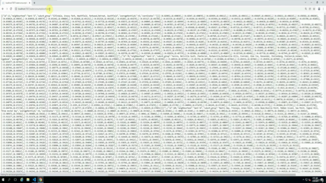
- ✅ Constructing REST API Endpoints in C#.
- ✅ Enhancing Your Skills in both C# and JavaScript programming.
- ✅ Building Responsive Web Applications using the C# and ASP.NET Core MVC Framework.
This course is tailored for developers and professionals seeking to expand their skillset into geospatial web development with a focus on C#. Whether you're an aspiring developer or an experienced programmer looking to add another string to your bow, this course will equip you with the knowledge and tools needed to create dynamic, interactive, and data-driven web applications.
Join us in this exciting journey into the world of Web GIS development with C# and ASP.NET CORE MVC! 🌍💻🚀
Course Gallery


Loading charts...