Blender city and landscape modeling - AulaGEO
Learn modeling 3D topographic landscape and city using autocad and openstreetmap data
4.13 (8 reviews)
115
students
2.5 hours
content
Dec 2024
last update
$19.99
regular price
Why take this course?
🌟 Master 3D Topographic Landscape and City Modeling with Blender, Autocad, and OpenStreetMap Data 🌟
Course Title: Blender City and Landscape Modeling
Headline: Embark on a Journey to Become a 3D Modeling Expert with Real-World Data!
Lesson 1 - Introduction 🚀
Lesson 2 - Hot Keys ⏫
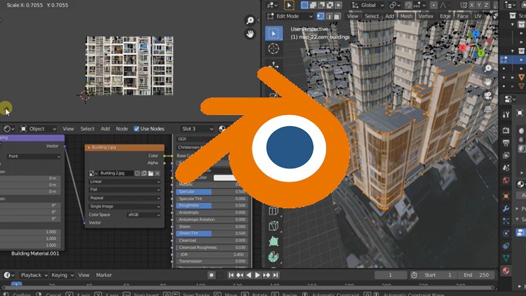
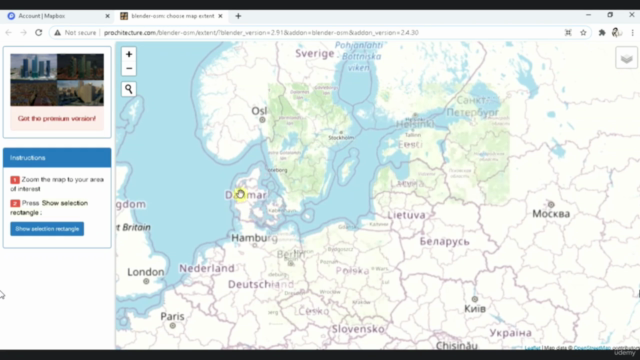
Lesson 3 - Blender OSM: Real-World Data Integration 🌍
Lesson 4 - Autocad to Blender Conversion 🔄
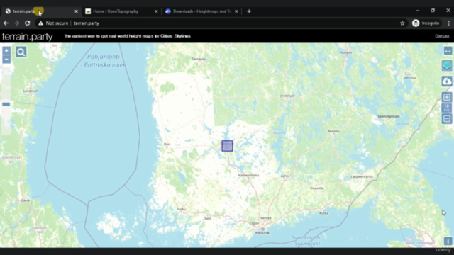
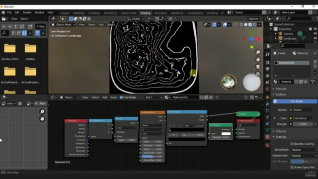
Lesson 5 - Height Maps: The Foundation of Realistic Landscapes 🏞️
Lesson 6 - Advanced Modeling with MTree Add On 🌳
Lesson 7 - Working with HDR Environments 🌅
Lesson 8 - Importing OSM Data for Real-World City Models 🏙️
Lesson 9 - Material Assignment for Buildings 🏗️
Lesson 10 - Final Project: Forest Landscape from Scratch 🌲
Lesson 11 - Final Project: Real-World City Landscape with OSM Data 🌇
By completing this course, you'll have a solid understanding of how to use Blender in conjunction with Autocad and OpenStreetMap data to create detailed and realistic 3D models of both landscapes and cities. Whether for personal interest or professional endeavors, the skills you acquire here are bound to elevate your 3D modeling capabilities to new heights.
Let's embark on this creative journey together! 🌟
Course Gallery

Loading charts...
Related Topics
4027494
udemy ID
05/05/2021
course created date
10/05/2021
course indexed date
Bot
course submited by