OpenRoads Designer - Beginners civil works Level 1 - AulaGEO

Why take this course?
🚦 OpenRoads Designer - Beginners civil works design (Level 1)
Course Headline:
Master Civil Engineering with Bentley OpenRoads CONNECT Edition 🚀
Course Description:
Dive into the world of advanced civil engineering design with our comprehensive OpenRoads Designer - Beginners civil works design (Level 1) course. This course is meticulously crafted to introduce you to the powerful capabilities of Bentley OpenRoads CONNECT Edition, a state-of-the-art tool within MicroStation that has revolutionized the way civil designs are conceptualized and executed.
What You Will Learn:
Getting Started:
- Understand the differences between Bentley OpenRoads Designer and Autodesk Civil 3D.
- Familiarize yourself with the user interface, keyboard shortcuts, and essential navigation within Bentley OpenRoads Designer Connect Edition.
Horizontal Geometry:
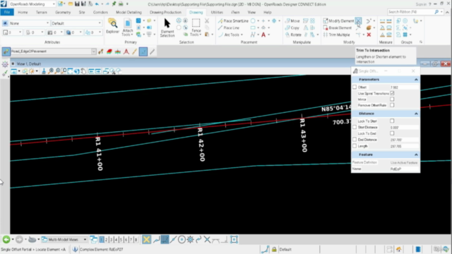
- Learn to create, read, and edit horizontal geometries from scratch or by reading existing data.
- Discover various ways to modify existing horizontal geometries and annotate them effectively.
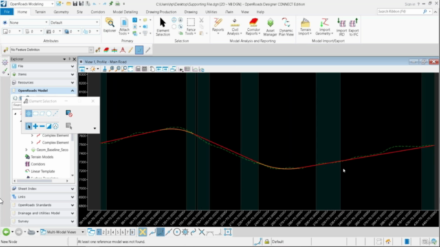
Vertical Geometry:
- Grasp the concepts of creating and editing vertical geometry using both table editor and dynamic input (right-click context menu).
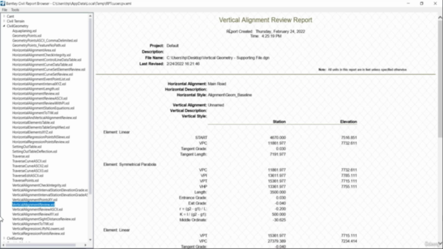
- Explore the functionalities for generating reports and exporting data to CSV files.
Super Elevation:
- Create, view, edit, and report on super elevation sections and templates.
- Understand the rules, calculations, and how to apply them within your designs.
Corridors:
- Master the process of creating corridors from scratch and using road templates.
- Learn to interpret 3D views of corridors and perform template drops, cross-sectional analyses, and assign super elevations.
Terrain Modeling:
- Gain skills in reading existing terrain data and editing terrain features such as major and minor contours.
- Explore the reference of terrain to 2D files, use of element templates, and the differences between 2D and 3D terrain views.
- Learn to label terrain contours and spots, analyze points, and understand the importance of terrain modeling in civil engineering projects.
Civil Cells:
- Place, view, and edit civil cells using styles, templates, and parameters.
- Understand the parametric constraints and the process of applying surface templates.
- Complete a civil cell exercise to solidify your understanding and skills.
Course Highlights:
✅ Comprehensive Introduction: We'll start with an overview of Bentley OpenRoads Designer Connect Edition, including its interface and keyboard shortcuts.
✅ Hands-On Learning: From creating horizontal geometries to editing vertical geometries, you'll get practical experience on all the basics.
✅ Super Elevation & Corridors: Learn to apply super elevation to corridors and understand the intricacies of corridor modeling.
✅ Terrain Modeling: Get hands-on with terrain features, contours, spots, and more, to create realistic landscape models.
✅ Civil Cells Mastery: Understand the complexities of civil cells, their styles, templates, and parameters to enhance your design precision.
Who Should Attend:
This course is perfect for:
- Civil engineers and designers new to Bentley OpenRoads Designer.
- Surveyors looking to transition into civil design using OpenRoads.
- Professionals seeking to enhance their civil works design skills with advanced tools like OpenRoads CONNECT Edition.
Join Us:
Embark on your journey to becoming a proficient user of Bentley OpenRoads Designer Connect Edition today! With our expert guidance and practical, hands-on approach, you'll be designing civil projects with confidence and precision in no time. 🛣️⚙️🎓
#AulaGEO #OpenRoadsDesigner #CivilEngineering #BentleySoftware #MicroStation #LandSurveyoring #CivilWorksDesign #Level1Course
Course Gallery


Loading charts...