ArcGIS Level 2: Advanced Analysis, Editing and Mapping

Why take this course?
🌟 Course Title: ArcGIS Level 2: Advanced Analysis, Editing, and Mapping 🚀
Headline: 🎓 If you want to master Advanced Analysis, Advanced Editing, and Mapping with ArcMap, then this course is for YOU! 🧵
Course Description:
Are you thinking about elevating your GIS skills to the next level? Are you ready to dive deep into the world of advanced spatial analysis using ArcGIS? If your answer is a resounding "Yes!" then our ArcGIS Level 2: Advanced Analysis, Editing, and Mapping course is precisely what you need!
What You Will Learn:
-
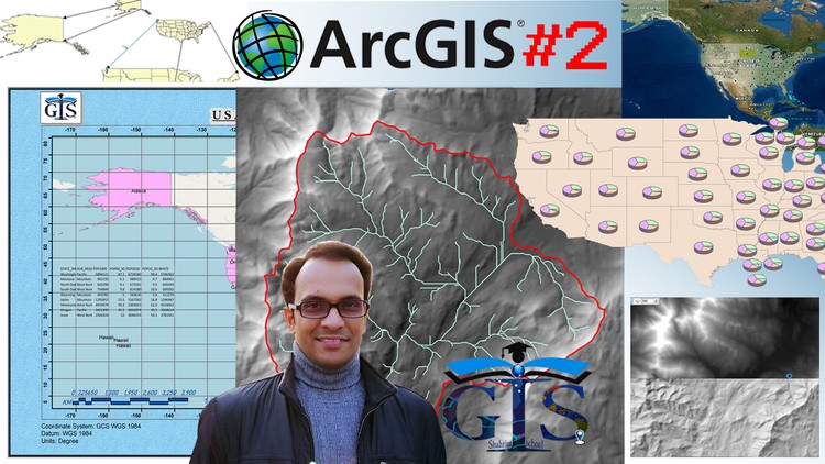
📊 Advanced Analysis with Raster and Vector Layers: Dive into the nuances of analyzing spatial data with both raster and vector datasets. Understand the power of these tools in ArcMap for making informed decisions based on geographic information.
-
💧 Hydrological Analysis: Get hands-on experience with hydrological analyses, including watershed delineation. Learn the detailed explanations behind basin analysis, flow direction, flow accumulation, raster calculation, and much more.
-
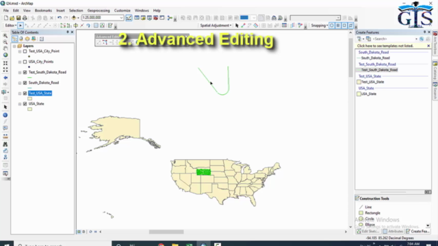
✏️ Advanced Editing Tools: Master the art of shapefile editing with our advanced editing toolbar. Discover tips and tricks to enhance your efficiency and precision in editing spatial data.
-
📊 Population-Based Analysis: Explore various population-based analysis techniques using ArcMap's advanced tools and expressions. Understand the significance of these analyses in planning and decision-making processes.
-
🧔♂️ Grid Map Creation & Map Layout: Learn how to create a presentable grid map with all its tools, and master the art of map layout design for clear, effective visualizations.
-
📈 Charts in Map: Add different types of charts, such as 3D pie charts, bar charts, columns, stacked bars, and more, to your maps to communicate your findings effectively.
-
🖨️ Advanced Map Layout: Gain a comprehensive understanding of advanced map layout tools to create interactive maps with map elements, Excel sheets, and attribute tables that bring your data to life.
Why Choose This Course?
-
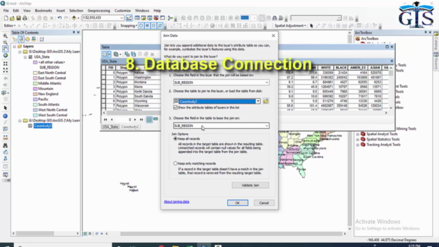
🧙♂️ Advanced Analysis Made Easy: We simplify complex concepts so you can learn advanced analysis techniques for both raster and vector layers, including many types of database analysis.
-
🌊 In-Depth Hydrological Analyses: Our course covers a range of hydrological analyses, providing detailed explanations and real-world examples to deepen your understanding.
-
🛠️ Editing Toolbar Mastery: Learn the intricacies of the advanced editing toolbar with shapefile editing tips and tricks that will save you time and increase accuracy.
-
📊 Population Analytics: Engage in a series of lectures on different types of population-based analysis using ArcMap's tools and expressions, accompanied by practical examples to solidify your understanding.
-
🗺️ Grid Map & Attractive Layout: Create professional-looking grid maps and learn how to design an engaging map layout using advanced tools.
-
📈 Charts in Maps: Add eye-catching charts like 3D pie charts, bar charts, and more to your maps for dynamic data visualization.
-
🎓 Learn by Doing & Playing: We emphasize learning through practice and exploration. Our course is designed to help you understand the 'why' behind every step with hands-on video tutorials that allow you to play and engage with the material.
Join us on this exciting journey to master ArcGIS at an advanced level! 🌟
Enroll Now and Transform Your GIS Skills to Their Full Potential!
Course Gallery


Loading charts...