3D Data Management and BIM in ArcGIS - AulaGEO

Why take this course?
🌟 ArcGIS Pro - 3D Modeling using ArcGIS 10 and ArcGIS Pro: Dive into the Third Dimension!
Course Headline:
Unlock the Power of Spatial Data with 3D Data, City Modeling, 3D Analysis, and BIM-GIS Interaction
Welcome to a New Dimension in Geospatial Analysis!
This course is tailored for those who are passionate about geospatial analysis and eager to explore the realm of three-dimensional data. 🌏✨
ArcGIS is undoubtedly one of the leading platforms globally for managing Geographic Information System (GIS) data. In this comprehensive course, we will delve into the 3D functionalities of ArcGIS, mastering the handling, analysis, editing of data, and even interacting with Building Information Modeling (BIM) infrastructure modeling data.
Why This Course?
Already, the traditional 2D maps are being transcended, demanding a more immersive approach to understanding our environment. 3D data modeling offers an unprecedented perspective, allowing us to visualize the spatial relationships of structures or phenomena in a much more comprehensive way. It's not just about seeing data; it's about experiencing it!
For those with prior knowledge of operating and handling 2D GIS data in ArcGIS, this course is your gateway to mastering 3D data modeling and harnessing the right tools to build efficient projects. 🚀
What You Will Learn:
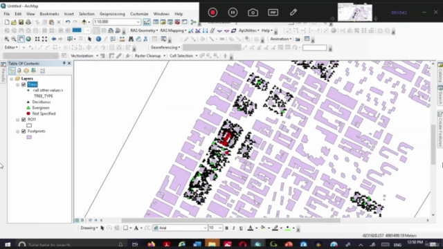
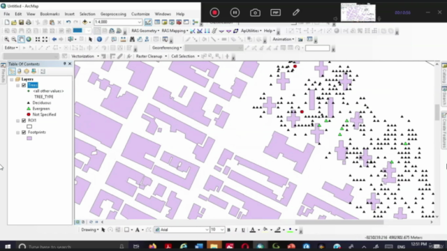
- The Basics: Understanding 3D Analyst, preparing 2D data in Desktop, opening ArcGIS Pro/linking folders, creating a new Scene.
- 3D Visualization Options: Exploring ArcGlobe, ArcScene, 3D Symbology, Editing, and Animation, with a live demonstration in ArcGIS Pro.
- 3D Data Management: The art of 3D Geoprocessing and modifying data to suit your project needs.
- Advanced Visualization and 3D Data Editing: Mastering advanced visualization techniques, clustering, creating/modifying 3D buildings, changing attributes for extrusion, and identifying features on a base map.
- Other Visualization Choices: Adding new objects, applying viewshade effects, and enhancing the 3D environment.
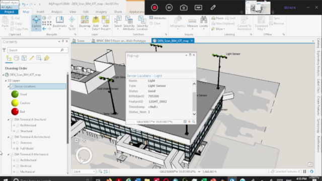
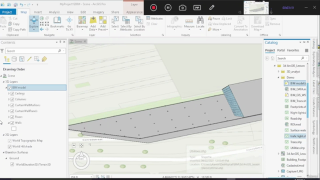
- Building Information Modeling (BIM) Interoperability: Introduction to BIM, preparing BIM data, exploring BIM data, controlling BIM layers, and achieving a final visualization.
Special Focus on BIM-GIS Integration:
In this course, we will also cover an introductory lesson on the Building Information Modeling (BIM) methodology, which is crucial in today's 4th digital age. ArcGIS as a platform has made significant strides in managing BIM data in IFC (Industry Foundation Classes) and Autodesk Revit (RVT) formats. These BIM data sources are GIS data with location specifications, readable as polyline, point, or multipatch features within ArcGIS Pro.
Enhance Your Skills with #AulaGEO:
To maximize your learning experience, we recommend completing our ArcGIS Pro Basic and Advanced courses beforehand. These courses will provide a solid foundation for understanding the functionalities of ArcGIS 10, which are also covered in this course due to its user-friendlier interface for data management.
Join us on this journey into the third dimension with ArcGIS Pro and ArcGIS 10, where you'll learn to transform data into insights that can change the way we design, analyze, and interact with our spatial world! 📡➡️🌍
#AulaGEO To get the most out of this course, we recommend you check out our ArcGIS Pro Basic and Advanced #AulaGEO courses, as this one focuses on 3D content. For ease of use, some lessons show how ArcGIS 10 works since managing data is much easier with its interface. Let's embark on this 3D adventure together! 🚀🌍⬆️
Course Gallery


Loading charts...