ArcGIS Pro - Aprenda fácil - AulaGEO

Why take this course?
🌐 ArcGIS Pro - Aprende fácil con Golgi Alvarez
¡Descubre el Mundo del GIS con ArcGIS Pro!
Descripción del Curso:
¿Listo para abrazar la revolución en GIS? ArcGIS Pro es tu herramienta definitiva, y este curso te guiará desde los fundamentos hasta dominar su funcionalidad. Aprenderás a manejar las herramientas más importantes de ArcGIS Pro, comenzando con una base sólida y avanzando hacia técnicas más avanzadas de análisis y simbología.
¿Qué aprenderá el usuario?
- AulaGEO: Plunge into creating thematic maps, importing data from Excel, performing zone influence analysis, and georeferencing images. 🗺️📊
- Comprende la creación y edición de spatial data, including tracing zones with Bookmarks. 🌍
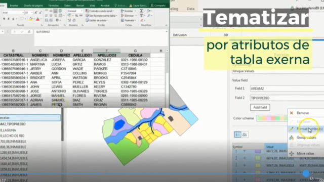
- Master the art of symbolizing data based on attributes, editing attribute tables and columns, and digitizing geographic information accurately. 🎨
- Learn to share your data and understand the process behind creating beautiful final maps. 🖼️
Este Curso Incluye:
Aspectos básicos de ArcGIS Pro
- Clase 1: Iniciemos con ArcGIS Pro - Dive into the interface and project settings.
- Clase 2: Selección de datos - Learn how to import various data formats efficiently.
- Clase 3: Marcación de zonas - Bookmarks - Discover the power of bookmarks in your data selection.
Creación y edición de datos espaciales
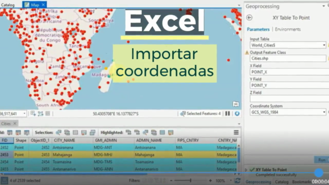
- Clase 4: Agregar datos XY desde Excel - Import and manage Excel data in your GIS projects.
- Clase 5: Simbología de Datos - Create meaningful visualizations based on your attributes.
- Clase 6: Edición de datos de atributos - Modify and update attribute information with ease.
- Clase 7: Rotulación de atributos - Add labels to your maps to enhance clarity and communication.
- Clase 8: Digitalización de información geográfica - Convert sketches, diagrams, or images into GIS data you can use.
- Clase 9: Georeferenciar imágenes - Combine visual imagery with accurate location data to enrich your datasets.
Análisis de datos
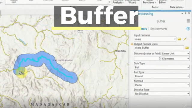
- Clase 10: Análisis de influencia - Buffer - Understand spatial relationships and their impact.
- Clase 11: Agregar datos locales en 3D - Incorporate 3D data into your GIS projects for a more immersive experience.
Publicar contenidos con ArcGIS Pro
- Clase 12: Generación de Mapas - Produce compelling, final maps for presentations, reports, and dissemination.
Hagámoslo en AulaGEO - ejercicios paso a paso
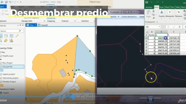
AulaGEO isn't just about learning; it's about doing. With hands-on exercises, you'll apply what you learn in real-time. From importing CAD data to splitting polygons using Excel coordinates, and calculating areas with composite fields - you'll get a comprehensive understanding of GIS processes.
Implicaciones del Cambio de ArcMap a ArcGIS Pro
Understand the implications and advantages of transitioning from ArcMap to ArcGIS Pro. This course will help you navigate this shift smoothly and take full advantage of the new platform's capabilities.
Join us in this exciting journey through GIS with ArcGIS Pro and transform how you view and interact with geographic information! 🌍💻
¡Matricúlate ahora y comienza a dominar el mundo del GIS con ArcGIS Pro! 🚀
Course Gallery


Loading charts...